Last updated: January 28, 2021
Place
Weippe Prairie
Quick Facts
Location:
Near Weippe in Clearwater County, ID
Significance:
Where the Corps descended from the Bitterroot Mountains
Designation:
National Historic Landmark
Amenities
1 listed
Historical/Interpretive Information/Exhibits
Lewis and Clark NHT Visitor Centers and Museums
This map shows a range of features associated with the Lewis and Clark National Historic Trail, which commemorates the 1803-1806 Lewis and Clark Expedition. The trail spans a large portion of the North American continent, from the Ohio River in Pittsburgh, Pennsylvania, to the mouth of the Columbia River in Oregon and Washington. The trail is comprised of the historic route of the Lewis and Clark Expedition, an auto tour route, high potential historic sites (shown in black), visitor centers (shown in orange), and pivotal places (shown in green). These features can be selected on the map to reveal additional information. Also shown is a base map displaying state boundaries, cities, rivers, and highways. The map conveys how a significant area of the North American continent was traversed by the Lewis and Clark Expedition and indicates the many places where visitors can learn about their journey and experience the landscape through which they traveled.
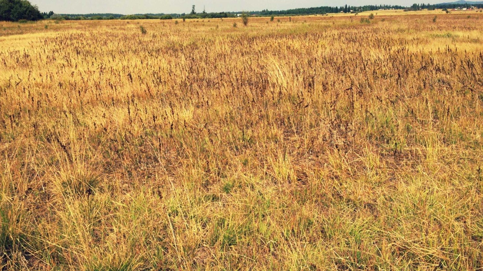
Weippe Prairie is a High Potential Historic Site on the Lewis and Clark National Historic Trail.
On September 20, 1805, Clark and six others advanced from the Bitteroot Mountains into an expansive upland prairie occupied by two Nez Perce villages. Two days later, Lewis arrived with the main expedition. All were famished and exhausted. Lewis found himself “growing weak for the want of food and most of the men complain of a similar deficiency and have fallen off very much.” The Nez Perce generously welcomed and fed them meals of camas, dried salmon, and berries. Whether due to bacteria or a sudden change in diet, nearly the entire expedition became extremely sick. They departed Weippe Prairie on September 24 to prepare for their descent of the Clearwater River. Lewis and Clark reunited with the Nez Perce on May 3, 1806, during the return journey. Delayed by lingering winter in the mountains, they camped along the Clearwater River until June 10, then relocated to Weippe Prairie. On June 15, the expedition made its first attempt to cross the mountains, but found conditions to be impassable. They returned to Weippe Prairie on June 19 and remained another five days. Their final departure was on June 24. Six days later, they arrived at Travellers Rest. During the times spent with the Nez Perce, bonds of mutual friendship and respect were forged.
The Weippe Prairie National Historic Landmark covers approximately 3,120 acres, the majority of which is privately owned. However, there is a 274-acre tract owned by Nez Perce National Historical Park that is publicly accessible and offers sweeping views of the landscape.