Last updated: June 22, 2021
Place
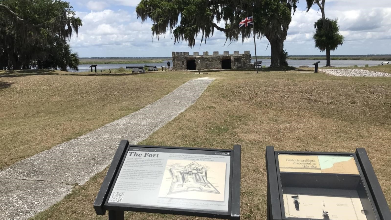
Wayside Outside the King's Magazine

NPS Photo
Historical/Interpretive Information/Exhibits, Scenic View/Photo Spot
James Oglethorpe lived a varied life in America, splitting his time and duties among Georgia’s settlements. In his early years at Frederica he slept in a tent, even as he urged others to build fine houses. He finally built a home just outside the town—a modest estate known simply as “The Farm.”
Today Oglethorpe’s fort still proudly flies the British King's Colors (1603-1801). For six years, Oglethorpe improved his defenses, convinced that the battle for the debatable lands would be decided here. There were higher, more comfortable sites for a fortress, but few better suited to a tactical defense.
Fort Frederica did not face the ocean, where an entire Spanish fleet could surround it. A lookout post, Fort St. Simons, at the south end of the island watched for approaching vessels. Before hostile forces reached Frederica, they would have to sail past the guns of Fort St. Simons, then continue up the river on the inland side of the island. Fort Frederica stood at a sharp bend in the river, her guns facing south and west, though Oglethorpe knew Spanish strategy would bring an assault from the south.
On the wayside a drawing of the fortification, circa 1742, shows that the island once extended farther into the river. Storms and erosion have washed away the shoreline where the spur was built.
