Last updated: October 10, 2024
Place
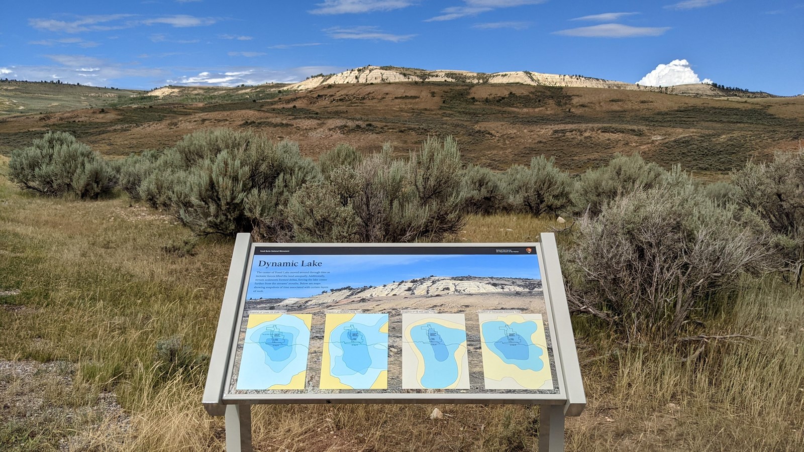
Wayside: Dynamic Lake

NPS photo
Quick Facts
Location:
41.850956, -110.779171
Amenities
1 listed
Historical/Interpretive Information/Exhibits
The size and depth of Fossil Lake varied over time. This wayside explains how water depth in and around the location of the monument changed over time and how that relates to the layers of rock.
