Last updated: July 15, 2025
Place
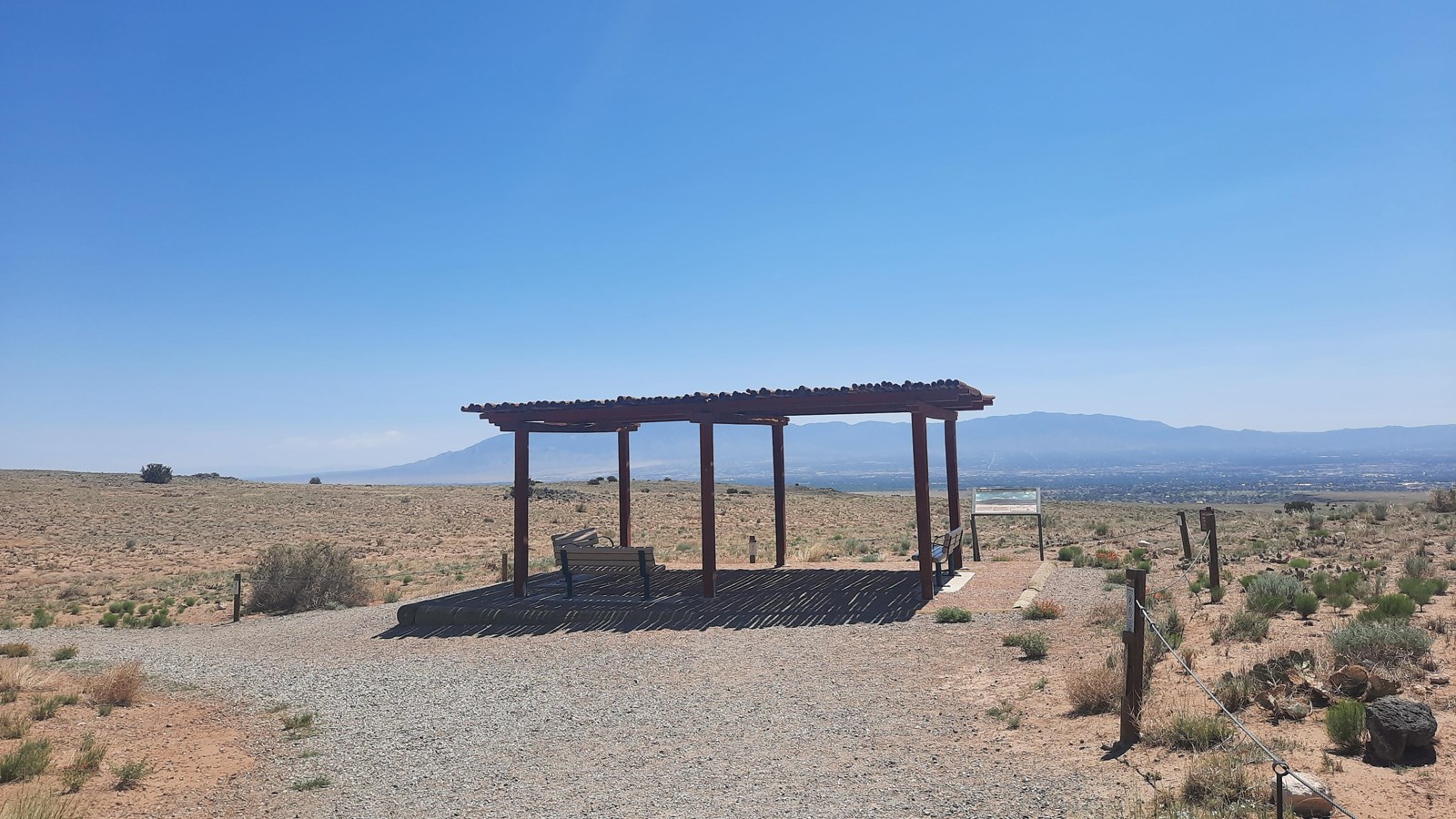
Volcanoes Day Use Area Audio Tour Stop 4
NPS Photo / Ben Holt
Quick Facts
Amenities
3 listed
Benches/Seating, Cellular Signal, Scenic View/Photo Spot
You have now reached stop 4 of the Volcanoes Day Use Area audio tour. You have walked 0.50 miles or 0.80 kilometers. This area overlooks the entirety of the city of Albuquerque, while also providing one of the best places to see all the geological forces that shaped the landscape of the monument. Here at Petroglyph National Monument, we sit in the middle of a massive geological feature stretching from Colorado down into Mexico known as the Rio Grande Rift. Roughly 20 million years ago, this area started to experience a process known as rifting. Rifting occurs where the Earth’s crust is pulling apart, stretching and thinning the land within the rifting zone. From this viewpoint, you can see how this process created the landscape we have today.
The Rio Grande Rift runs in a north-south line through the center of New Mexico. From here, you are looking out to the east, across the rift zone. You can see the city of Albuquerque below you in the rift valley, while the Sandia Mountains rise above further to the east. The Sandia Mountains are the Eastern edge of the rift. As the earth pulled apart, the Sandia Mountains rose up while the valley dropped down. Today, there is about one mile of vertical distance between the City of Albuquerque and the top of the Sandias, but in the past, the difference was much more dramatic. In fact, there used to be about two vertical miles of distance between the top of the mountains and the base of the valley. As the rift grew older, layers of rock from the top of the Sandias eroded off, becoming the sediment that continues to fill the valley where Albuquerque sits today.
The western edge of the rift is less dramatic and did not experience as much vertical off-set as the eastern side did. If you look back towards the parking lot, you may notice a low ridge on the horizon. This is the Nacamiento Fault, located by the Rio Puerco, which acts as the western edge of the rift zone.
Continue another 0.32 miles or 0.52 kilometers to reach Audio Tour Stop 5.