Last updated: July 25, 2025
Place
Varina LandLab Conservation Area
Capital Region Land Conservancy
Quick Facts
Location:
9200 Deep Bottom Rd, Richmond, VA 23231
Significance:
Varina LandLab Conservation Area connects people to the ecology and history of the Chesapeake Bay watershed through public access, outdoor education, hands-on habitat restoration, and public programming.
Designation:
Chesapeake Gateways Network Site
MANAGED BY:
Amenities
5 listed
Cellular Signal, Historical/Interpretive Information/Exhibits, Parking - Auto, Pets Allowed, Restroom - Accessible
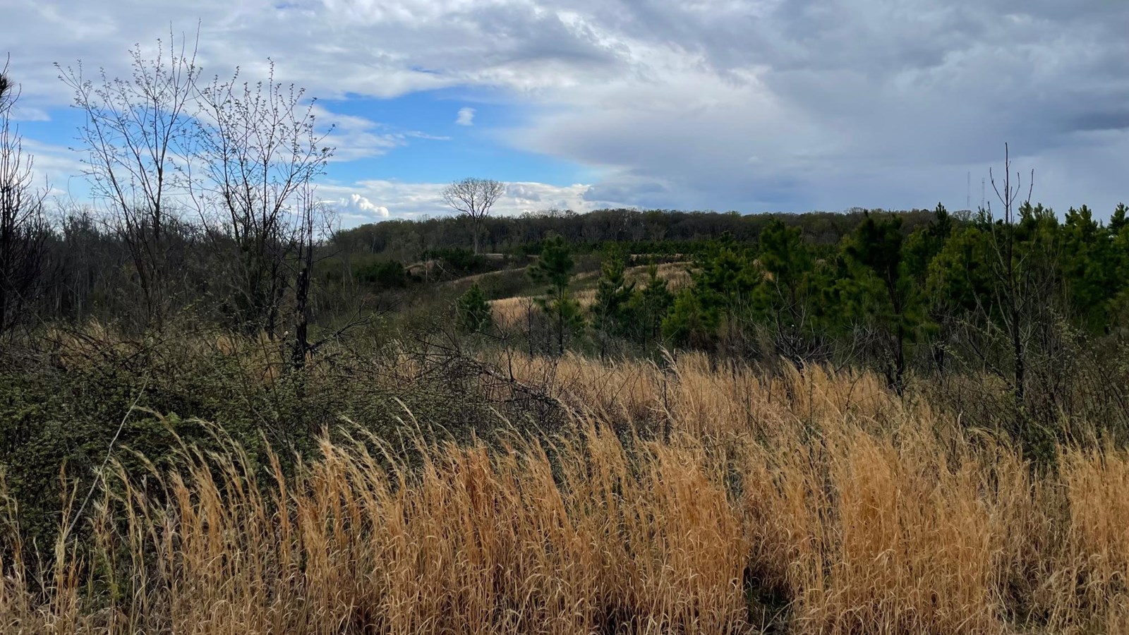
Set along the banks of the James River, Four Mile Creek, and Roundabout Creek in eastern Henrico County, Virginia, the Varina LandLab Conservation Area is a designated Chesapeake Gateways Network Site offering a dynamic experience in ecology, history, and outdoor education and recreation. This 353-acre public land offers visitors an opportunity to explore a living laboratory that engages lifelong learners, K-12 students, and researchers through events, community science, and habitat restoration.
Located within the Lower James River Important Bird Area, the Varina LandLab supports a rich diversity of species and is a prime destination for birdwatching and nature study. Miles of trails and scenic overlooks invite visitors to witness active conservation practices like prescribed burns, invasive species management, and the reestablishment of native plants.
Steeped in more than 4,000 years of human history, the land tells stories of Indigenous communities of the Arrohateck tribe, early English colonists, and Civil War battlefields, including the battles of Deep Bottom and New Market Heights. Scenic river crossings once used by Union troops are now places of reflection and interpretation.
As part of the Chesapeake Gateways network, the Varina LandLab helps connect people to the natural and cultural heritage of the Chesapeake Bay watershed. To learn more about the site's programs, stewardship work, and visitor resources, visit Capital Region Land Conservancy’s website.