Last updated: April 23, 2025
Place
Vantage Point: International Bridge

Benches/Seating, Pets Allowed, Wheelchair Accessible
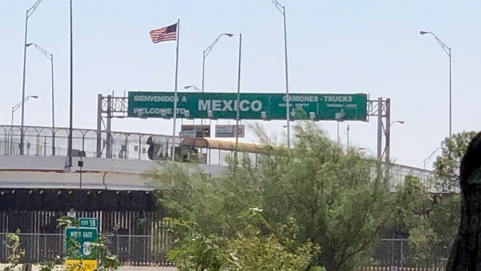
Can you spot the “Welcome to Mexico” sign? It rises over an international bridge connecting Ciudad Juárez, Chihuahua in Mexico to El Paso, Texas, in the United States. It is named Bridge of the Americas but known locally as the free bridge, or puente libre, since there is no toll to cross from either side. It is one of five bridges connecting this binational metropolitan community.
It is not visible from the park, but just beyond the border fence is the concrete-lined, present-day river channel where the Rio Grande (or Río Bravo as it is called in Mexico) runs its course.
Bridges can be symbols of transition. Rivers can symbolize the flow of time. The shifting streambed of the Rio Grande River can be used to mark different points of time in the story of the Chamizal. Let’s see how these two features can be seen as testaments to both change and continuity.
In 1852, just 4 years after the Treaty of Guadalupe Hidalgo established the Rio Grande as the border between the United States and Mexico, the river’s channel ran just south of today’s downtown El Paso.
As naturally flowing rivers do, the Rio Grande changed course many times, sometimes gradually due to erosion and sometimes suddenly from flooding, in a generally southern direction into Mexico.
As early as 1864, the river carved a new channel through a piece of Mexican farmland known as El Chamizal. One farmer's claim to his land became the international boundary dispute that would endure for almost a century.
Eventually, the United States and Mexico established treaties to determine norms for managing a boundary along a shifting river. They created the International Boundary and Water Commission to maintain the boundary moving forward. However, they still could not resolve the original disagreement over sovereignty of El Chamizal. That question would remain unanswered until the 1960s.
