Last updated: March 31, 2025
Place
Ute Canyon Trail (Colorado National Monument)
NPS Photo / N Scarborough
Quick Facts
Location:
Upper TH on Rim Rock Drive, Lower TH at Wildwood outside Monument
Amenities
2 listed
Parking - Auto, Trailhead
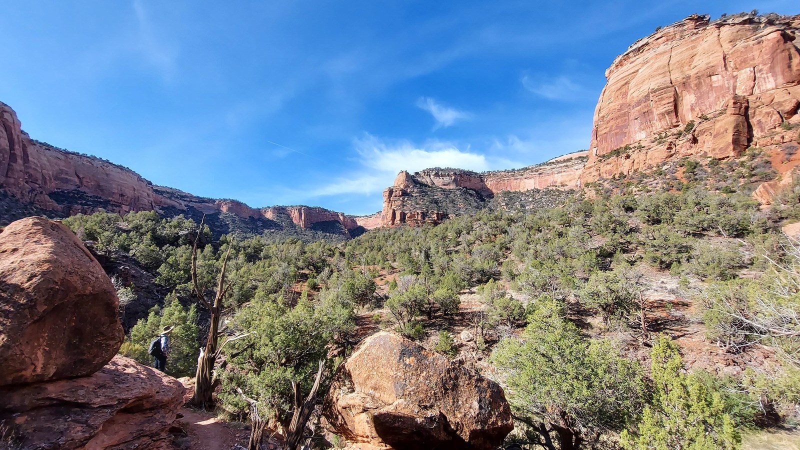
Ute Canyon Trail (Colorado National Monument)
Map highlighting in red Ute Canyon Trail in Colorado National Monument as it begins at Rim Rock Drive and trends west to east until it intersects with Corkscrew Trail.
- Location: Three access points:
- (1) from the Saddlehorn Visitor Center, turn left onto Rim Rock Drive and travel 9.3 miles (15.0 km) to the trailhead on the left
- (2) from the west entrance of the monument, turn right onto Highway 340 (going east); after 6.5 miles (10.5 km) turn right at the light onto South Broadway; go 1.2 miles (1.9 km) and turn left onto Wildwood Drive; watch closely for a brown trailhead sign on the right at 0.5 miles (0.8 km); turn down the road to the trailhead
- (3) from the east entrance, proceed north on Monument Road 0.6 miles (1.0 km); turn left on South Camp Road; drive 2.6 miles (4.2 km) to its junction with South Broadway; turn left and go 0.5 miles (0.8 km); turn left onto Wildwood Drive and go 0.5 miles (0.8 km); watch closely for a brown trailhead sign on the right at what appears to be driveway; turn down this road to the trailhead. The last two access points are shared with Liberty Cap Trail and Corkscrew Trail.
- Mileage: 7.0 one way (11.3 km)
- Difficulty Level: Steep
- Elevation: 6,440 to 4,800 feet (1963 to 1463 meters) from upper trailhead to lower trailhead.
- Average time: 4-5 hours
- Usage: Hiking. Horseback riding is permitted along the boundary of the monument to the base of the escarpment only.
- Description (from upper access): Rigorous descent into narrow Ute Canyon from the plateau follows a primitive trail. Route then follows the streambed with seasonal stream and pools bordered by cottonwoods and willows. A few arches may be seen. Unmaintained.