Last updated: October 10, 2024
Place
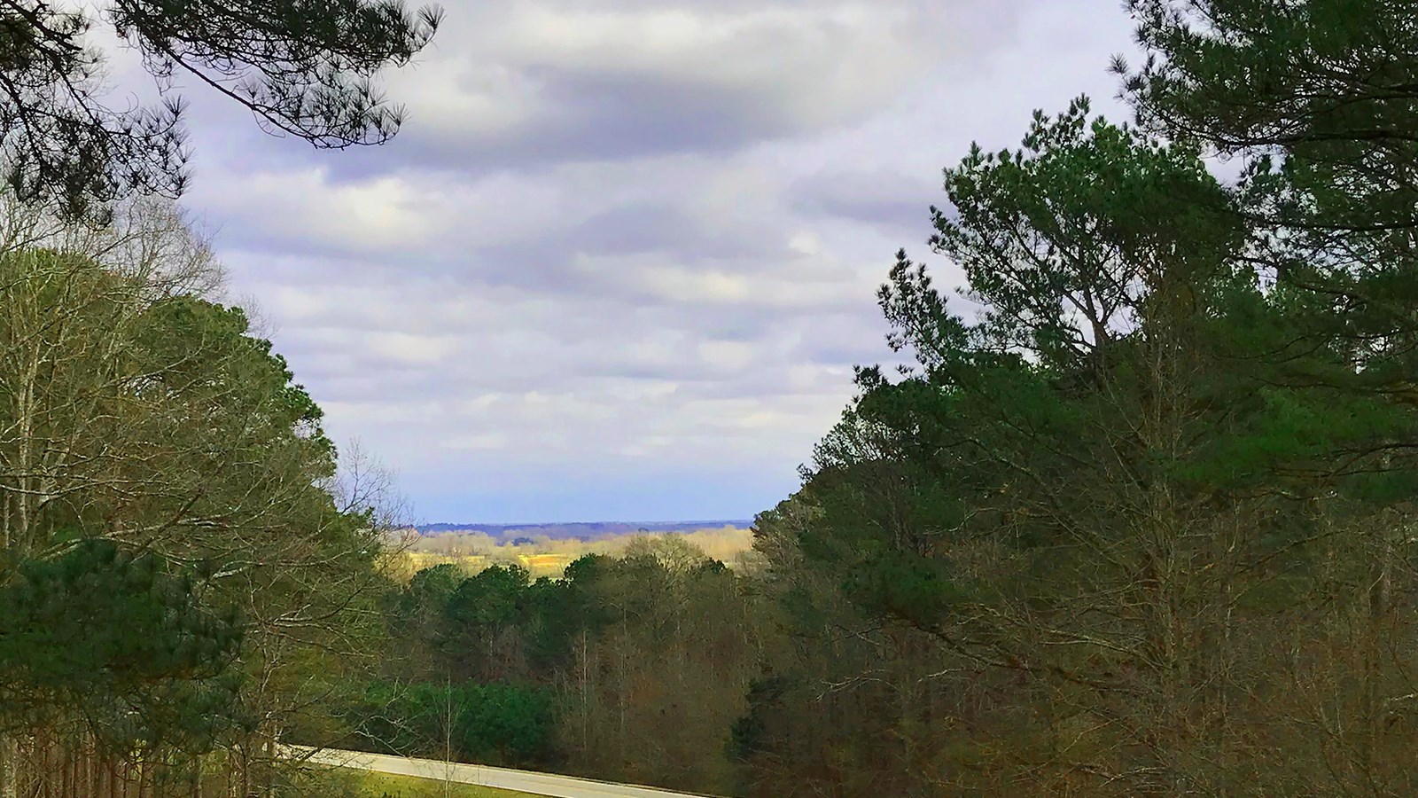
Twentymile Bottom Overlook, Milepost 278.4

NPS Photo - J Farmer
Quick Facts
Location:
Milepost 278.4 Natchez Trace Parkway
Significance:
An overlook that helps to put into perspective, the difficulties of early travelers and today, shows the beauty of rural Mississippi.
Amenities
3 listed
Parking - Auto, Picnic Table, Scenic View/Photo Spot
"I have this day swam my horse 5 times, bridged one creek, forded several others, besides the swamp we had to wade through. At night we had a shower of rain." Reverend John Johnson, 1812
This overlook takes in a wide view of a rich agricultural bottom area. Use your imagination to replace some of the fields with forests and swamps. Imagine what it would be like to traverse the area in 1812, on a horse. It sounds like the reverend had a soggy time.
Water was always a critical survival factor for early travelers. In the west, it was frequently lack of water. In the southeast, it was sometimes too much water. This area averages about 55 inches of rain per year, but yearly totals of rainforest proportion, over 80 inches, have been recorded.
Take a moment and contemplate being exposed to so much water during all seasons of the year, over weeks or months with no indoor shelter. This was the plight of early travelers on the Old Trace.
Please note that this is not a circular drive and large RVs will have trouble negotiating the parking area.
