Last updated: April 29, 2025
Place
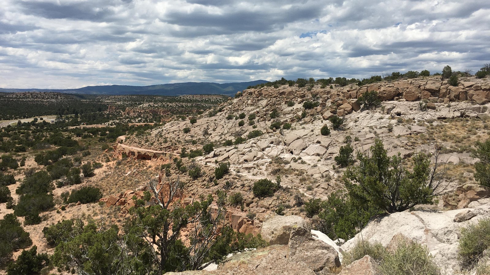
Tsankawi
NPS
Quick Facts
Amenities
14 listed
Baby Changing Station, Information, Information Kiosk/Bulletin Board, Parking - Auto, Parking - Bus/RV, Picnic Shelter/Pavilion, Picnic Table, Recycling, Restroom, Scenic View/Photo Spot, Toilet - Flush, Trailhead, Trash/Litter Receptacles, Water - Drinking/Potable
Bandelier National Monument's Tsankawi Unit is located on New Mexico State Highway 4, about 12 miles from the visitor center in Frijoles Canyon. At Tsankawi, you take a 1.5 mile walk along a mesa, viewing cavates, petroglyphs, and more. Ladders are a required part of this trail. The trail is very exposed to the elements and should not be taken during localized thunderstorms. Cold, snowy weather can make the trail slippery so extra care should be taken when visiting in winter.