Last updated: December 10, 2020
Place
Travois Road
National Register of Historic Places
Quick Facts
Location:
5 miles east of Pomeroy, WA
Significance:
Campsite of Corps of Discovery
Designation:
National Register of Historic Places
Lewis and Clark NHT Visitor Centers and Museums
This map shows a range of features associated with the Lewis and Clark National Historic Trail, which commemorates the 1803-1806 Lewis and Clark Expedition. The trail spans a large portion of the North American continent, from the Ohio River in Pittsburgh, Pennsylvania, to the mouth of the Columbia River in Oregon and Washington. The trail is comprised of the historic route of the Lewis and Clark Expedition, an auto tour route, high potential historic sites (shown in black), visitor centers (shown in orange), and pivotal places (shown in green). These features can be selected on the map to reveal additional information. Also shown is a base map displaying state boundaries, cities, rivers, and highways. The map conveys how a significant area of the North American continent was traversed by the Lewis and Clark Expedition and indicates the many places where visitors can learn about their journey and experience the landscape through which they traveled.
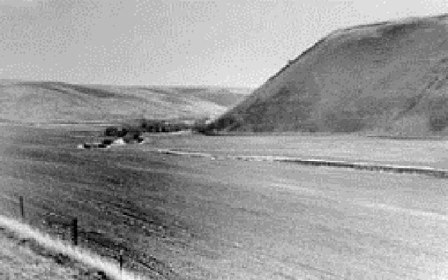
Lewis and Clark Travois Road is a High Potential Historic Site on the Lewis and Clark National Historic Trail.
While staying with the Wallulapum Tribe near the confluence of the Walla Walla River, on April 27, 1806, Lewis wrote, “the indians informed us that there was a good road which passed from the columbia opposite to this village to the entrance of the Kooskooske on the S. side of Lewis’s river; […] we knew that a road in that direction if the country would permit would shorten our rout at least 80 miles. the indians also informed us that the country was level and the road good, under these circumstances we did not hesitate in pursuing the rout recommended by our guide whos information was corroberated by Yellept & others.” On May 3, as the expedition proceeded east on this route, Clark wrote that they “Continued Still up the Creek bottoms N. 75° E. 2 m. to the place at which the roade leaves the Creek and assends the hill to the high plains: here we Encamped in a Small grove of Cotton trees which in some measure broke the violence of the wind.”
Lewis and Clark were following an ancient road that extended from the confluence of the Walla Walla and Columbia rivers to confluence of the Clearwater and Snake rivers. Roads such as this one were marked by the parallel ruts left by travois. A travois consisted of two attached, load-bearing poles hitched to a horse or dog with a collar. As the animal pulled the travois, the two poles dragged along the ground. While much of the historic road has since been eradicated through agriculture, the five-acre Lewis and Clark Travois Road site encompasses intact remnants of the road system. Although privately owned, the area may be publicly viewed from a pull-off along US Route 12.