Last updated: May 7, 2022
Place
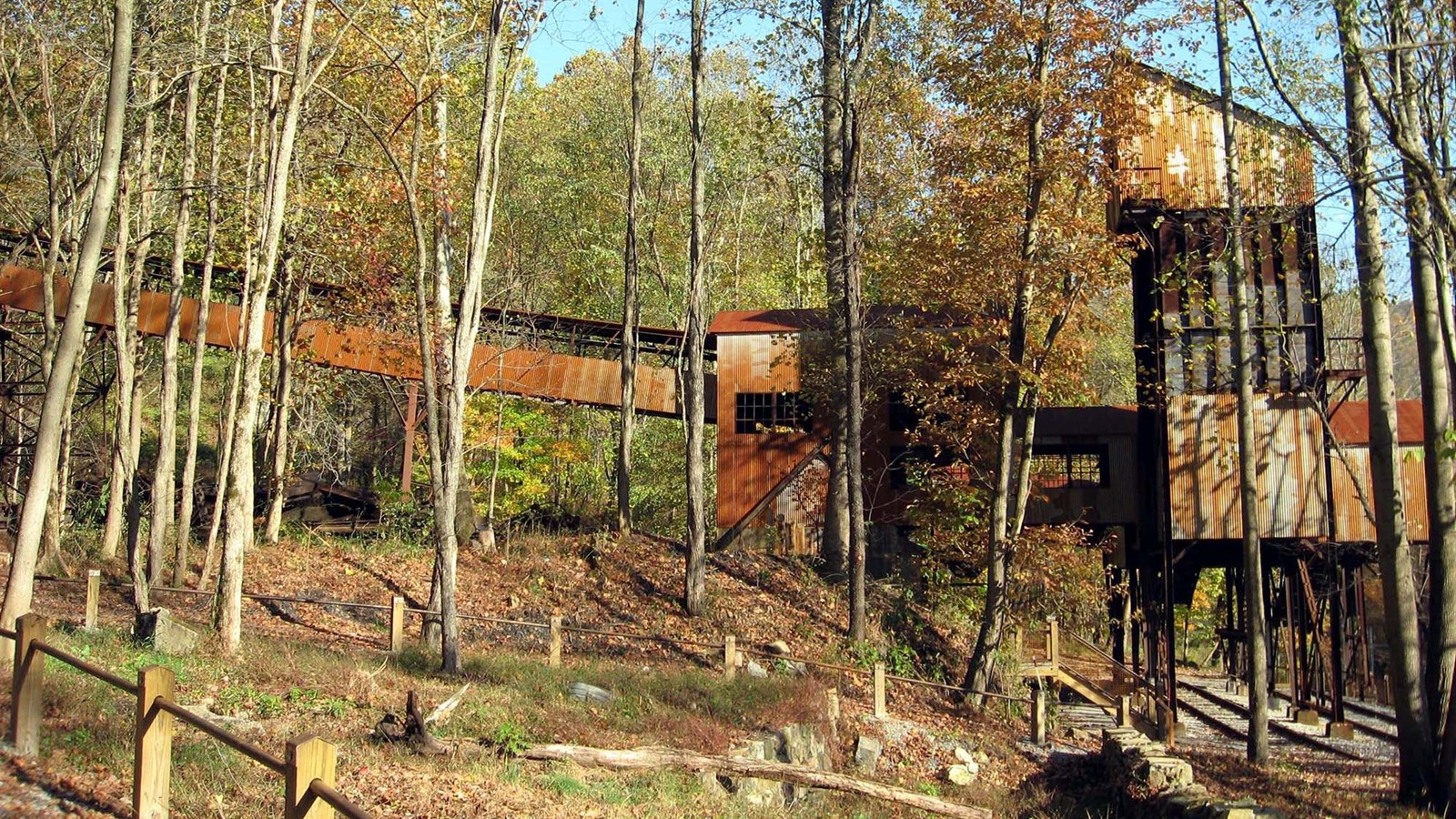
Town Loop Trail
NPS/Dave Bieri
Quick Facts
Amenities
1 listed
Trailhead
Labeled (5) on the Nuttallburg Area Trails map
Length
0.5 miles/0.8 km (Round-trip)
Difficulty
Moderate
Trail type
Hiking only
Trail Description
Get a glimpse of Nuttallburg's community life on this trail that loops around a residential area of Nuttallburg. Foundations of a church, school, and homes are visible along the way; exhibits in this area show what life was like in this once bustling community.
Trail connections can be made from this trail to the Tipple Trail and Town Loop Connector Trail.
Note
Climbing, sitting, or walking on walls and other constructed features weakens them. Please leave historic structures and artifacts as you find them, where they help tell the story of the past.
To reach the trailhead
Turn onto Lansing-Edmond Road (CO 5/82) off US 19 in Lansing, just north of Canyon Rim Visitor Center. Travel 6.0 miles to Winona, then turn right onto Keeneys Creek Road (CO 85/2). Travel 4.1 miles to the Nuttallburg parking area (accessable parking is located an additional 0.10 mile beyond the main parking area.
Lansing-Edmond Road and Keeneys Creek Road are both very small, curvy roads, including some single lane sections. Use caution while driving and be prepared to cooperate with other drivers; this may include reversing!
Winona can also be reached by traveling US 60 to Lansing-Edmond Road (CO 5/82) in Lookout. Travel 2.1 miles down Lansing-Edmond Road to Winona, then continue straight ahead 4.1 miles on Keeneys Creek Road (CO 85/2) to the Nuttallburg parking area.