Last updated: February 24, 2024
Place
Tour Stop #8: Ferry Landing Site

NPS
Historical/Interpretive Information/Exhibits, Information, Parking - Auto, Pets Allowed
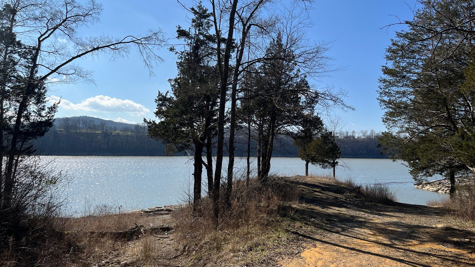
When the Confederate army retreated back to Beech Grove, Confederate Major General George B. Crittenden ordered the systematic retreat across the Cumberland River throughout the night of January 19-20. Everything the soldiers had brought over was left in their quarters and anything of military necessity was abandoned. The demoralized men marched down the road to the ferry crossing to board the Noble Ellis, a sidewheeled steamer, or rafts, that brought them to safety on the southside of the river. Crittenden successfully extracted his force to Mill Springs, then marched them to Monticello.
-
Tour Stop #8: The Ferry Crossing
At this location, the old roadbed winding down to water led to the ferry station. This ferry was the principle means of crossing from the northern to the southern banks of the Cumberland River and to Mill Springs. Confederate forces under Felix K. Zollicoffer crossed the river here and made their way 1-mile up the Mill Springs Road to an elevated position they could fortify. General George Crittenden used this location to ferry his army across to safety on the night of January 19-20, 1862.
- Date created:
- 02/13/2024
