Last updated: December 13, 2023
Place
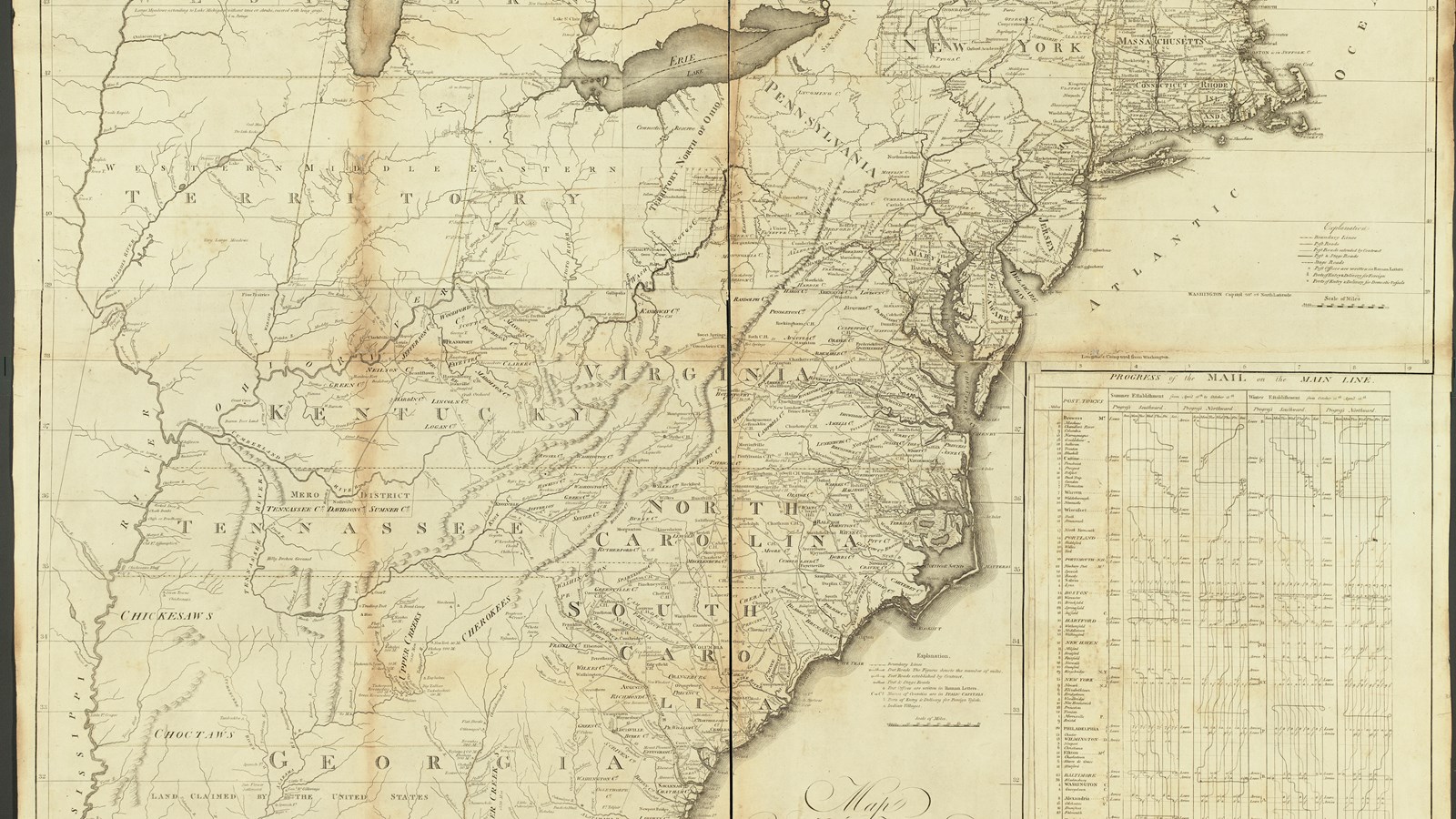
The Ohio River
Library of Congress, Geography and Map Division
Quick Facts
Location:
Virginia Point Park
Significance:
Meriwether Lewis traveled this stretch of the Ohio River on his journey west in 1803.
Designation:
Lewis and Clark National Historic Trail
Amenities
8 listed
Boat Ramp, Information Kiosk/Bulletin Board, Parking - Auto, Parking - Boat Trailer, Parking - Bus/RV, Picnic Shelter/Pavilion, Primitive Campsites, Toilet - Vault/Composting
Lewis and Clark NHT Visitor Centers and Museums
This map shows a range of features associated with the Lewis and Clark National Historic Trail, which commemorates the 1803-1806 Lewis and Clark Expedition. The trail spans a large portion of the North American continent, from the Ohio River in Pittsburgh, Pennsylvania, to the mouth of the Columbia River in Oregon and Washington. The trail is comprised of the historic route of the Lewis and Clark Expedition, an auto tour route, high potential historic sites (shown in black), visitor centers (shown in orange), and pivotal places (shown in green). These features can be selected on the map to reveal additional information. Also shown is a base map displaying state boundaries, cities, rivers, and highways. The map conveys how a significant area of the North American continent was traversed by the Lewis and Clark Expedition and indicates the many places where visitors can learn about their journey and experience the landscape through which they traveled.
The Ohio River was a busy highway. Indigenous residents of the valley, including Delaware, Shawnee, Haudenosaunee, and other people who had come to the valley as refugees lived in the Ohio River Valley in the late 1700s. Shawnee communities were known for accepting refugees from other Indigenous communities and their careful diplomacy helped foster pan-Indigenous confederacies out of the valley in the late 1700s.
French traders frequented the Ohio in the seventeenth century, and by the early 1800s, many people in the valley had mixed Indigenous-French heritage.
Following the American Revolution, a huge influx of White, American settlers came to the region, thanks to state and federal policies promoting settlement on lands violently seized from Indigenous people. Thousands of American settlers tookroads through Kentucky or floated down the Ohio on flatboats to claim these lands. Lewis passed several American settlements in 1803, and at one point, bought corn and potatoes from an American farmer.
The water was low, which delayed their journey. To keep moving, they rowed, used poles to push the boat downstream, and at one point, “cut a channel through the gravel with our spade and canoe paddles and then drag the boat through.” These were all techniques that the many people who navigated the Ohio’s busy waters had likely used before.
About this article: This article is part of a series called “Pivotal Places: Stories from the Lewis and Clark National Historic Trail.”