Last updated: May 25, 2022
Place
Lower Landing Place

National Park Service
The Lower Landing of the Mohawk River marks the eastern-most end of the Oneida Carry. An ancient trail used for trade and transportation, and at one point, protected by the historic Fort Stanwix/Schuyler.
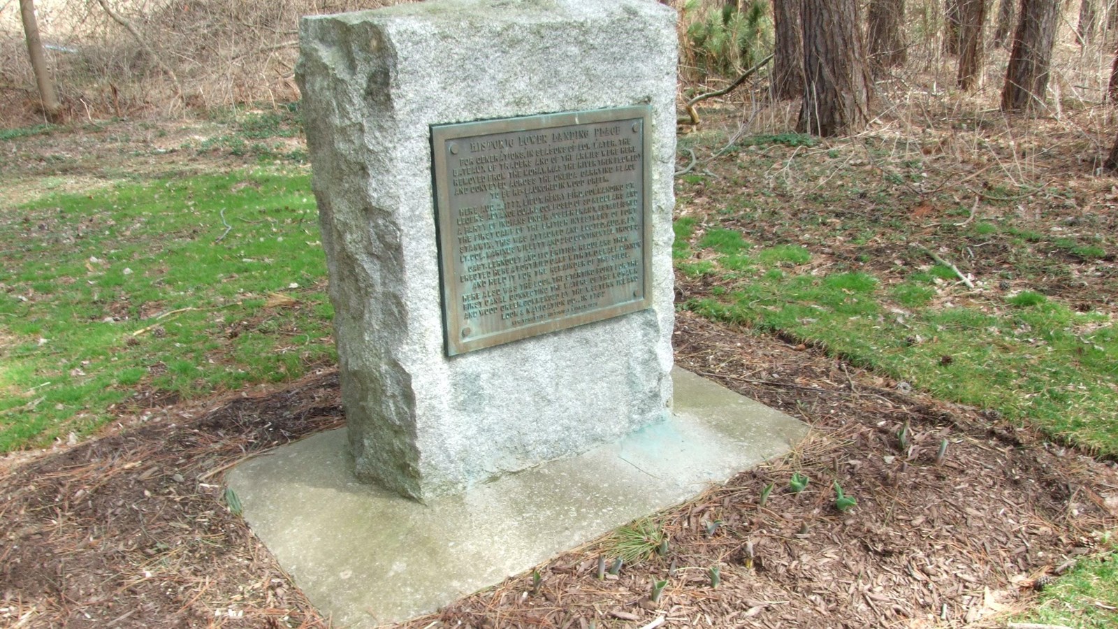
From the Inscription on the the historic marker:
"For generations, the seasons of low water, the bateaux of traders and the armies were here removed from the Mohawk (as the river then flowed) and conveyed across the Oneida Carrying Place to be relaunched in Wood Creek. Here August 2, 1777 Lt. Henry Bird commanding St. Ledger's advance-guard composed of 30 regulars and a party of Indians under Joseph Brant established the first camp of the British investment of Fort Stanwix. This was attacked and looted Aug. 6 by Lt. Col. Willett and 250 Continental troops. Capt. Lerndult and 100 British regulars then erected here a fortified camp with a cannon and held it for the remainder of the siege. Here also was the lock, the starting point for the first canal connecting the waters of the Mohawk and Wood Creek commenced by the Western Inland Lock and Navigation Co. in 1792."
Location:
The stone and pathway is located on Martin Street, near the intersection of Mill and Martin Streets. Coordinates are: 43° 11.924′ N, 75° 26.687′ W. From Fort Stanwix National Monument it is five minute car ride.
Visitation:
This site is open to the general public all-year, from sunrise to sunset. Please contact Rome Historical Society if you would like to set up a guided tour.
