Last updated: October 30, 2023
Place
Tar Camp Park

Photo/USACE
"...waiting for a light draft boat to carry the Detachment up. Much sickness in the party, diseases, measles & summer complaint...made a contract...to carry the party on the steamboat & two keels..." - Lt. Whiteley, July 7-11, 1838
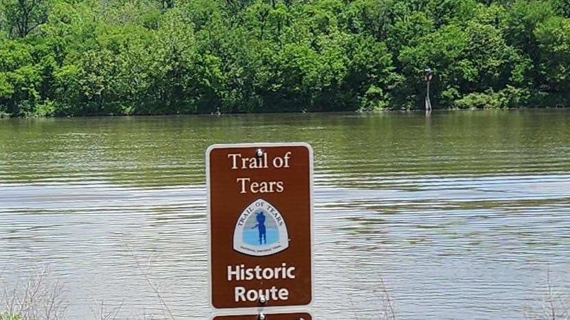
Tar Camp Park resides in the past and present Arkansas River - the middle of the park is located along a manmade portion of the navigation channel, but the upper and lower parts of the park are where the river would have been during the Trail of Tears in the 1830s. It is just upstream from the White Bluffs on the west bank of the river, a highly recognizable spot that would have been a navigation waypoint used by ship captains during the journey. Only a half an hour driver from the State Capitol, Little Rock, or Pine Bluff in the opposite direction, the park allows travelers today a great place to base their exploration of South-Central Arkansas and it rich cultural history and past. The Trail of Tears exhibit focuses on how steam technology allowed the movement of people and goods on rivers.
Tar Camp Park is 84 miles by water from Indian Territory, the end of the Trail of Tears Water Route.
Site Information
Location (4600 River Road, Redfield in Jefferson County AR along the Arkansas River)
Amenities
47 Class A Campsites, Restrooms/Showers, Picnic Sites/Group Shelters, Playground, Boat Launch, Sightseeing, ADA accessible
Safety Considerations
More Site Information
Trail of Tears National Historic Trail
Trail of Tears: Arkansas River Water Route Itinerary
You can visit multiple Water Route sites on the Arkansas River by following the Trail of Tears: Arkansas River Water Route Itinerary. Each site features one aspect or story about the Cherokee and Creek experience traveling the Trail of Tears by water, highlighting the challenges and complexities that arose daily on the Arkansas River.
