Last updated: June 20, 2025
Place
Tall Trees Walking Tour Stop 11

NPS Photo
Floods
The habitat you are exploring here along the creek lies upon a sedimentary mix called alluvium. Composed of sand, silt and clay, this well-aerated mix of soils, combined with high moisture levels and low wind exposure, makes this area an ideal environment for redwood growth. At different times of the year, you may see small mounds of alluvium churned and kicked up by burrowing voles and moles.
Drastic upheavals of sediment, however, can occur during periodic floods. If you were standing here on December 23, 1964, your head would have been underwater! Many of the surrounding redwoods’ shallow roots were made deeper by the accumulated deposits. Subsequent flooding also eroded some of these soils. How many now exposed redwood trunks can you count that still have gray silt embedded in their bark?
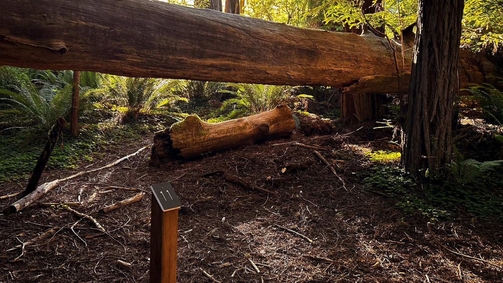
Erosion from flooding can also undercut roots and topple these towering trees. Most of the fallen redwoods here will become nursery logs or head downstream, breaking up along the creek to create deep, cool pools for salmon and trout. However, once in a great while a fallen giant will survive. Looking over your left shoulder, you will see a fallen redwood that had the fortune of being half buried in sediment after it fell. A part of its root system remained intact, and now it has multiple, cloned upright trunks growing along its length. This is just another example of how redwoods endure the effects of an ever-changing landscape through time.
