Last updated: September 8, 2020
Place
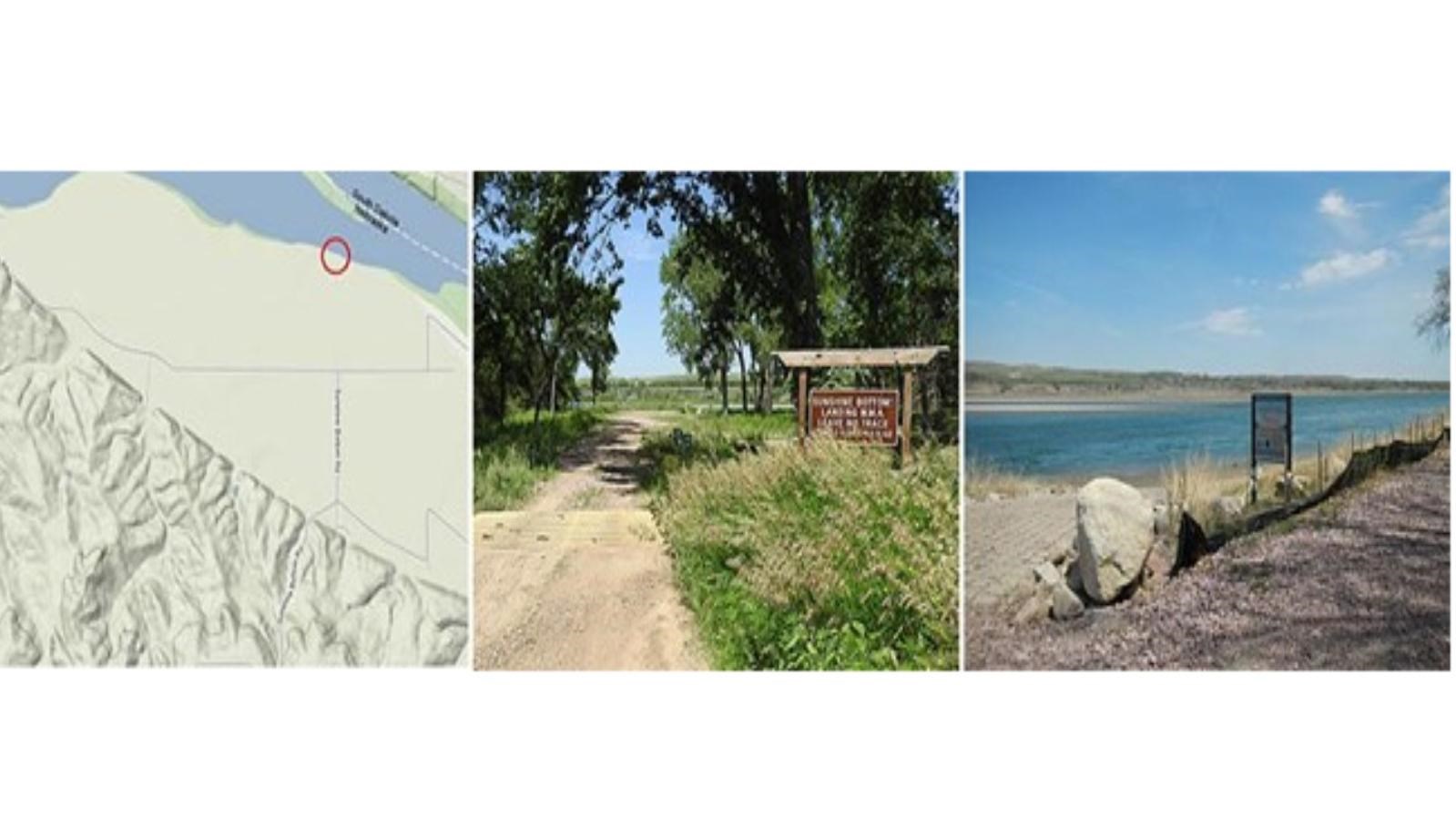
Sunshine Bottom River Access

Quick Facts
Location:
Boyd County, Nebraska
MANAGED BY:
Nebraska Game and Parks Commission
Amenities
2 listed
Boat Ramp, Canoe/Kayak/Small Boat Launch
River Mile: 866
Access Type: Boat landing
Restrooms: No
Water: No
Camping: Primitive camping site located 200 yards downstream on the south side of the river.
Picnic Facilities: No
Owned and Maintained By: Nebraska Game and Parks Commission
Directions: From Lynch, NE, take highway 12 east for 3 miles. Turn north onto Sunshine Bottom Road and follow that to the river.
The ramp on the Nebraska shore is unusable for boat trailers; however, it can be used for canoes and kayaks. To drive to this boat ramp follow Nebraska Highway 12 four miles west of Monowi or 2 1/2 miles east of Lynch to a "Sunshine Bottom" sign. The sign will direct you north along a gravel road which may not be passable during wet weather. Primitive camping only is allowed a couple hundred feet downstream of this access. Across from Sunshine Bottom is the Yankton Sioux Powwow grounds at Greenwood, South Dakota. Established in 1859, this community was the original Yankton Sioux agency. Tribal headquarters is located at Marty, about four miles to the north. More information.
