Last updated: July 9, 2021
Place
Sunrise Road White River View

NPS Photo
Parking - Auto, Scenic View/Photo Spot
Season: Summer Only (July - September)
Sunrise Road is open to vehicles during the summer only, typically from early July to mid-September.
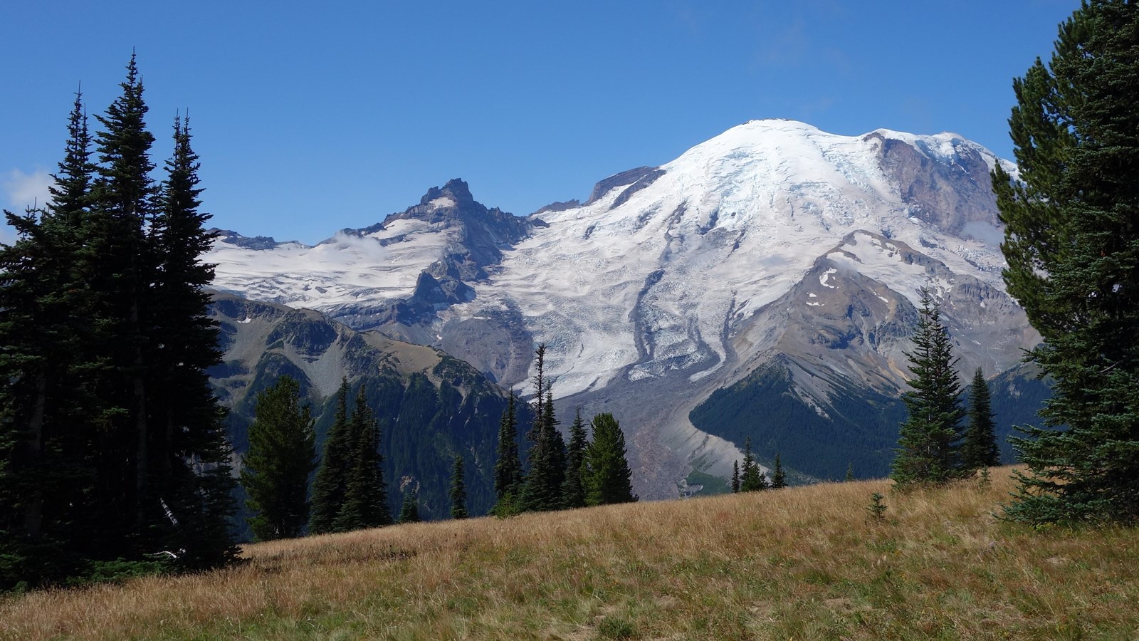
Several pullouts between Sunrise Point and Sunrise offer views of the White River Valley, as well as Mount Rainier and Mount Adams. The pullouts are located either at 9.1 or 9.4 miles from the gate along the Sunrise Road.
Sunrise Road Geology – White River Valley View
If the weather is clear, you will be treated to some of the best views in the park while driving this last section of the road. Looming above you to a height of 14,410 feet, Mount Rainier is the most intensely glaciated mountain in the contiguous United States with 25 glaciers covering 34 square miles - enough to cover more than half of the city of Tacoma, WA in ice! Mount Rainier actually has two summit craters, of which the rim of the east crater is visible from Sunrise. Warmed by escaping steam and gases, the rock rims of the craters remain visible year-round, despite the mountain’s permanent coating of glacial ice. From this vantage you can also look down and across the White River Valley on the left as you head towards Mount Rainier.
While we encourage you to enjoy the impressive views while traveling up the Sunrise Road, please stay aware of the road and drive safely. The Sunrise Road is steep and winding. Watch out for bicyclists and other drivers on the road, as well as wildlife. Please do not stop your vehicle in the road and block traffic.
