Last updated: October 10, 2024
Place
Sunrift Gorge: Erosion and Geologic Activity

NPS photo.
Quick Facts
Amenities
2 listed
Parking - Auto, Scenic View/Photo Spot
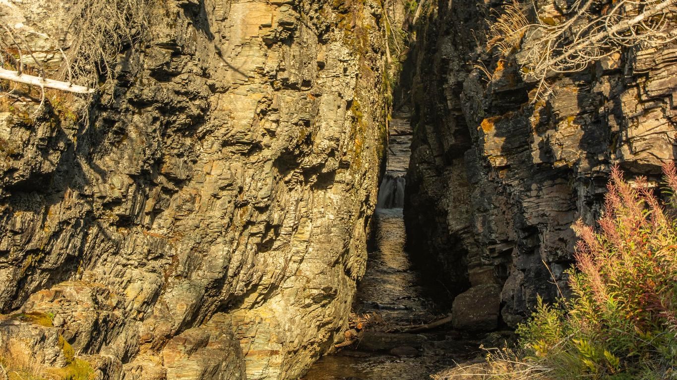
Sunrift Gorge is a glimpse into the powerful forces of water and erosion. Carved by Baring Creek’s relentless flow, visitors can view this 800-foot-long (244 m) and 80-foot-deep (24 m) gorge from an overlook and follow the stream of water before it flows into St. Mary Lake.
If you take the short walk up a few stairs and a few hundred feet to the overlook, take a look upstream. Do you notice the unusually straight flow of the creek here? Sunrift Gorge formed along a pre-existing fracture, or joint, in the bedrock here. Water found its way into this weakness and carved the gorge you see today.
Water is a powerful force in shaping Glacier’s landscape. Throughout the park, rushing spring snowmelt or powerful summer thunderstorms all contribute to the movement of dirt and rock material. The landscape that might look static in a postcard is actually changing every day. Weather events, geologic activity, and time all transform the park in ways we can’t always predict.
Please use caution as you appreciate Glacier’s streams, rivers, and waterfalls. Water temperatures are very cold, and rocks and logs can be incredibly slippery. Drowning is the leading cause of death in the park.
