Last updated: March 21, 2026
Place
Sun Point
Quick Facts
Location:
Glacier National Park
Amenities
4 listed
Parking - Auto, Restroom, Scenic View/Photo Spot, Trailhead
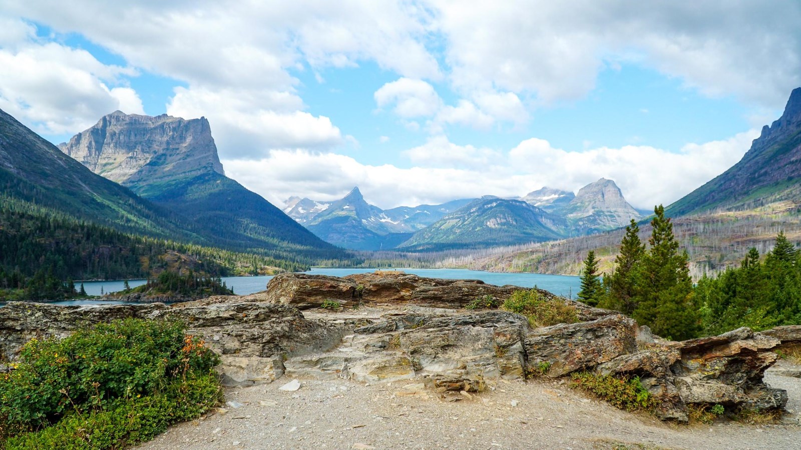
This site high above the lake was once home to the Going to the Sun Chalets, built in 1915 by the Great Northern Railway as part of a network of hotels, chalets, and tent camps.
Today, it's a great viewpoint over St. Mary Lake, as well as a parking area and starting point for Sun Point Nature Trail, St. Mary Falls, and Virginia Falls trails.
Sun Point Nature Trail
Distance: 0.9 mi (1.4 km), one way
Elevation gain: 284 ft (87 m)
Elevation loss: 163 ft (50 m)
Trailhead: Sun Point Picnic Area (this can also be done in the reverse direction from Sunrift Gorge)
St. Mary Falls
Distance: 2.4 mi (3.9 km), one way
Elevation gain: 621 ft (189 m)
Elevation loss: 487 ft (148 m)
Trailhead: Sun Point Picnic Area (St. Mary Falls can also be reached from the St. Mary Falls Trailhead)
Virginia Falls
Distance: 3.2 mi (5.1 km), one way
Elevation gain: 762 ft (232 m)
Elevation loss: 640 ft (195 m)
Trailhead: Sun Point Picnic Area (Virginia Falls can also be reached from the St. Mary Falls Trailhead)
While in Glacier National Park, please maintain extra awareness around water, steep dropoffs, and wildlife. You are responsible for your own safety.