Last updated: June 6, 2025
Place
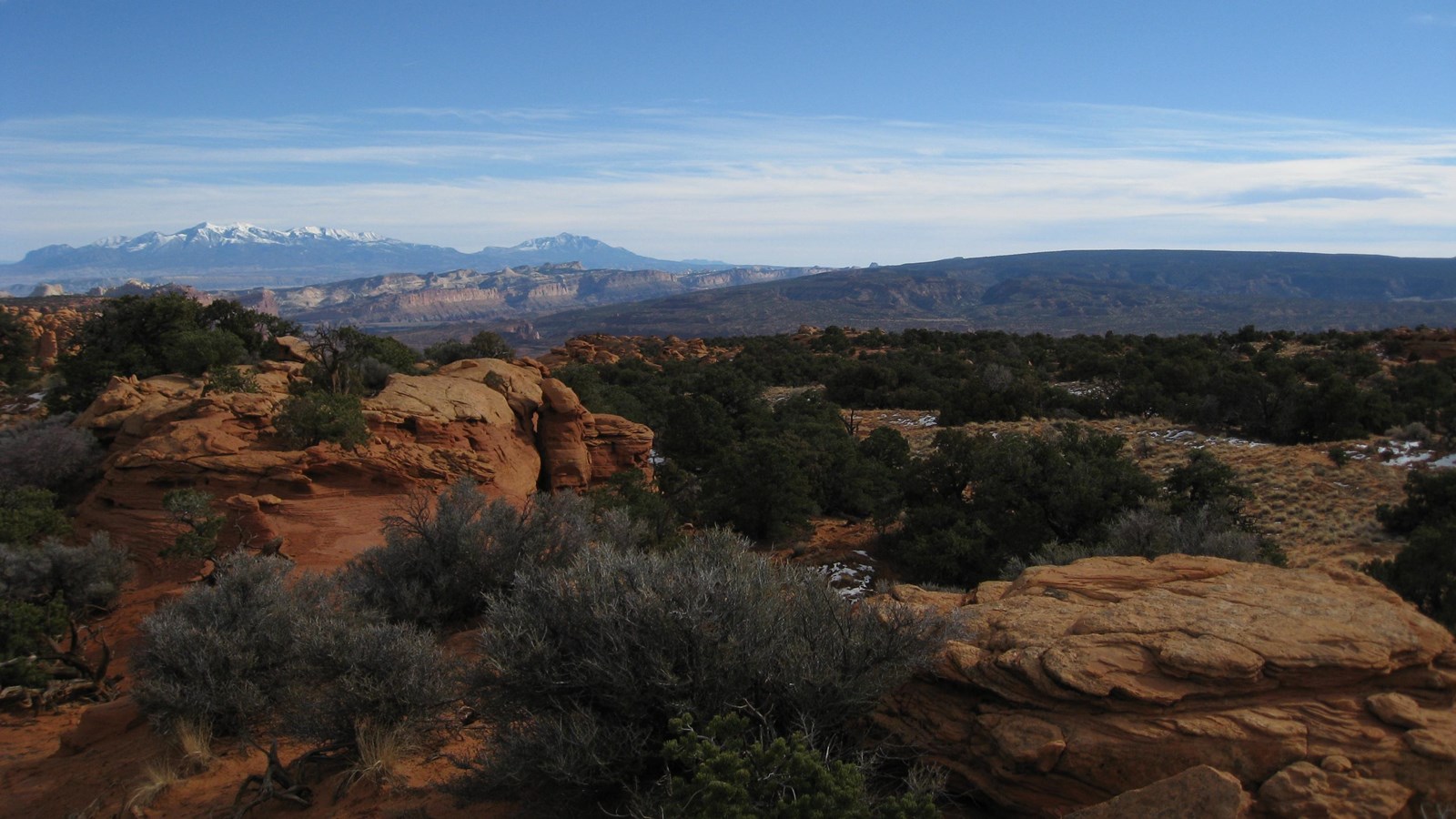
Sulphur Creek Trailhead
NPS
This is the upper trailhead for the Sulphur Creek hiking route. This is not a well-marked or maintained trail. Going east, it reaches then follows the course of Sulphur Creek through canyons, cliffs, and waterfalls until it returns to UT-24 at the Visitor Center. Be aware that Sulphur Creek, like all narrow canyons in the park, is prone to flash floods after local rain. Please check weather conditions and flood alerts before beginning any hike.
Just down the slope from the trailhead sign, on the left end of an outcrop of Moenkopi Formation, stands a small spire of rock called The Motorman. The early settlers thought it looked like a person wearing the flat-topped shako hat of the old highway patrol uniform. The Motorman keeps watch over the old roadbed from Torrey to Fruita.
From west to east, the highway is currently descending the Miners Mountain Uplift, which rises to the west of the Waterpocket Fold. Uplift is when part of the Earth’s surface increases in elevation, due to the motion of tectonic plates and faults. Miners Mountain and the Waterpocket fold are two of many major uplifts on the Colorado Plateau. Others include the San Rafael Swell, surrounding I-70 to our north; and the Monument Upwarp, which shapes the geography of Canyonlands National Park to our east.
Between here and the Visitor Center are the Chimney Rock Trailhead as well as the Goosenecks Road. The latter provides access to Panorama Point, Goosenecks Overlook Trail, and Sunset Point Trail.