Last updated: December 6, 2023
Place
Stud Horse Trailhead

NPS
Cellular Signal, Scenic View/Photo Spot, Trailhead
Distance: Varies
Easy/Moderate
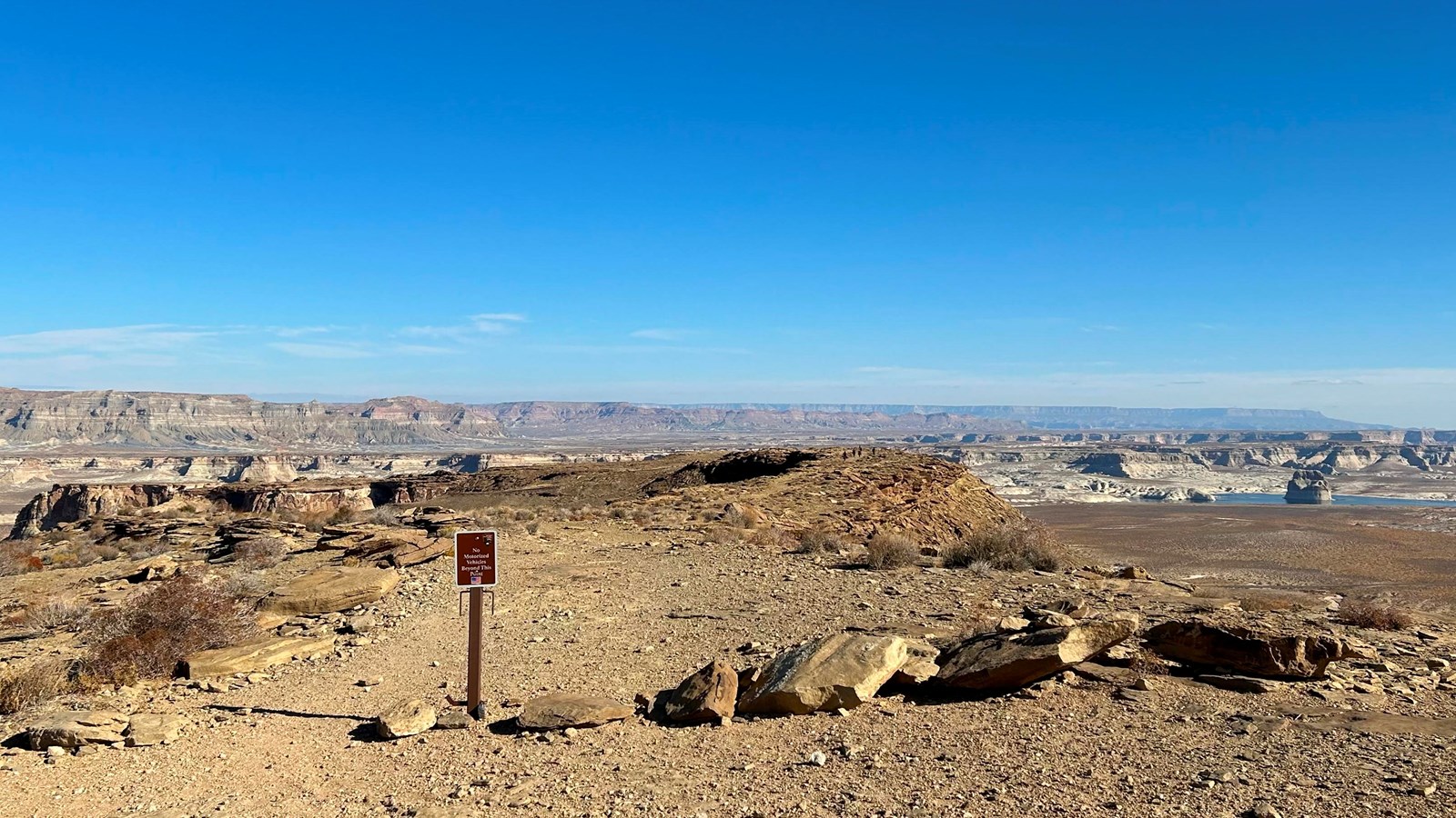
Build your own adventure when exploring the 6.5 mi (10.4 km) network of trails. Explore an area with large hoodoos scattered throughout and distance views of Lake Powell and Skylight Arch.
Trailhead: Take Highway 89 north 7.6 mi (12.2 km) past the Carl Hayden Visitor Center. Turn left on to Seismograph Road and follow for 0.75 mi (1.2 km) and turn left. Continue 1.5 mi (2.4 km) until a BLM wayside and a fork in the road, keep left. Continue on this road as it curves right to head west to connect to Powerline Road. Stay on this Powerline Road for approximately 1.1 mi (1.7 km) and turn right heading north and up onto the mesa. High clearance vehicles are recommended.
