Last updated: August 8, 2021
Place
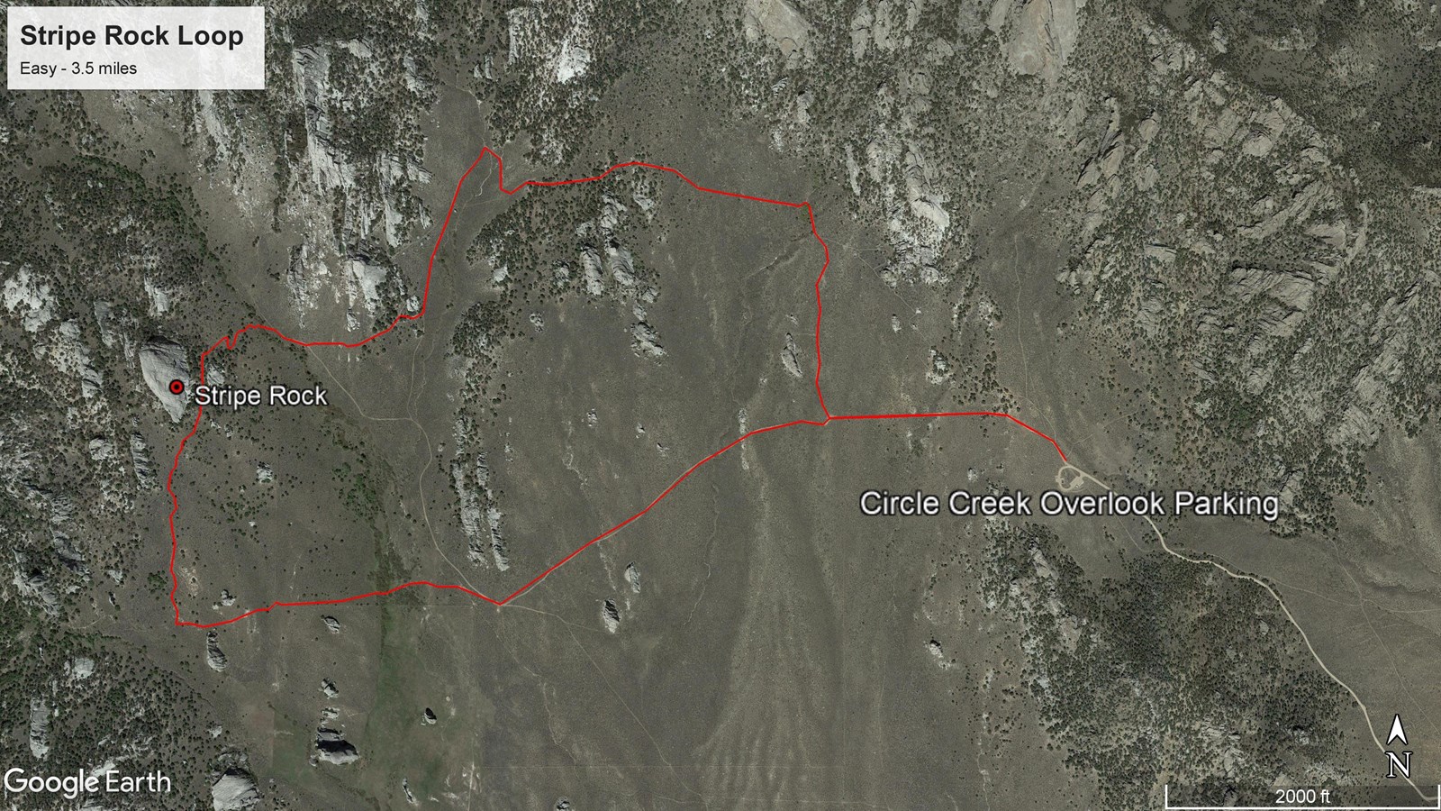
Stripe Rock Loop - 3.5 miles
Quick Facts
Amenities
5 listed
Information Kiosk/Bulletin Board, Parking - Auto, Scenic View/Photo Spot, Toilet - Vault/Composting, Trailhead
Hike, Bike, or Horse
One of the more recognizable features in the “Inner City” is Stripe Rock, named for the aplite dike that divides the east face like a lightning bolt. Many other popular trails are accessed from this route: Geo Watt, Site 18, North Fork Circle Creek, Bumblie, and Box Top. Bikers will find the loop more enjoyable if ridden in a counterclockwise route.