Last updated: September 25, 2025
Place
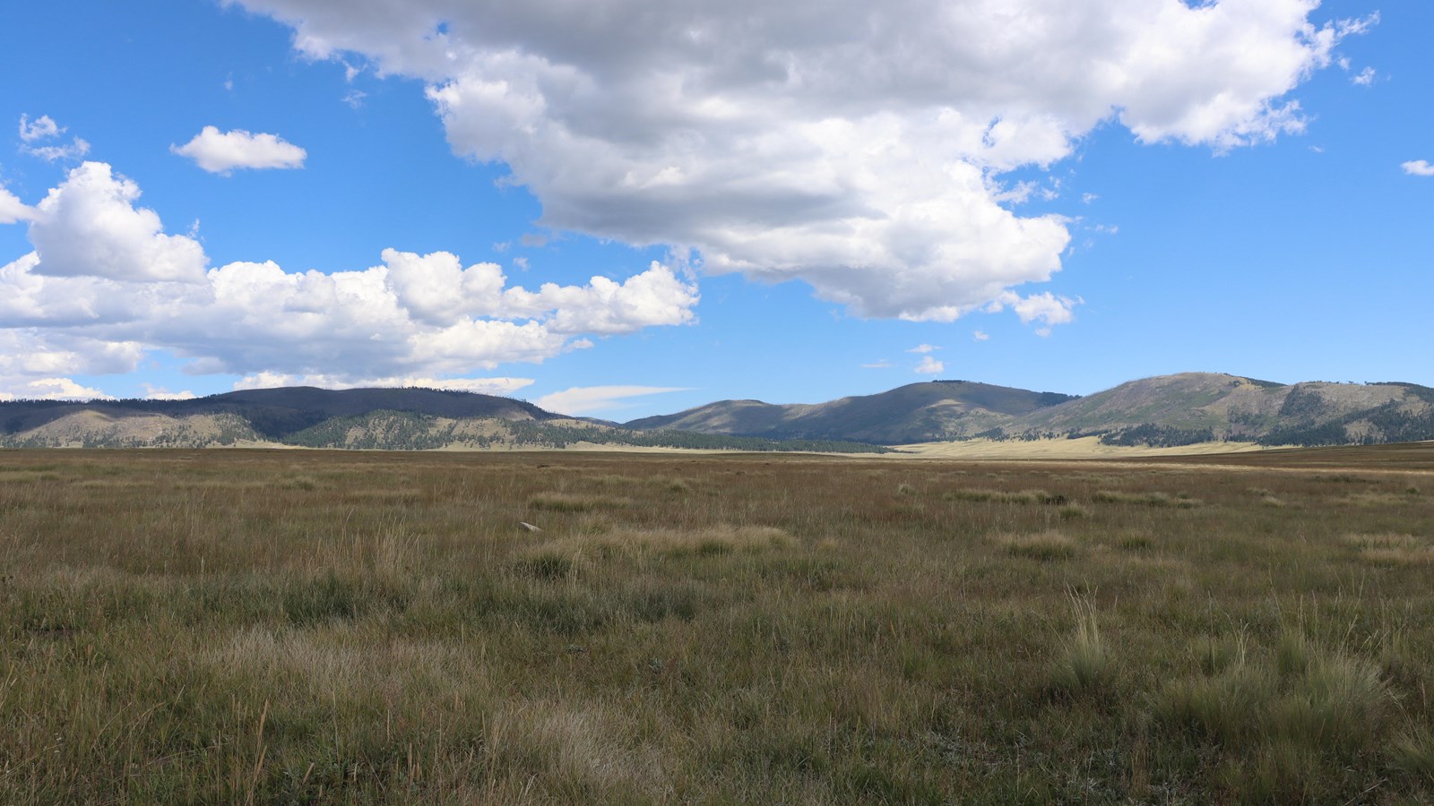
Stop 2: Valle Grande
NPS/Victoria Prieto Ruarte
Quick Facts
Amenities
4 listed
Parking - Auto, Pets Allowed, Scenic View/Photo Spot, Wheelchair Accessible
The valley you are looking at is called “Valle Grande” — this translates to ‘Big Valley’ in Spanish. Bernardo Miera y Pacheco completed one of the earliest remaining maps we have of the Northern New Mexico region, including the valley you are looking at right now.
Bernardo Miera y Pacheco was the first New Mexican santero artist. This is a Baroque art style that focuses on religious iconography. Bernardo Miera y Pacheco was the first Spanish cartographer to record the geography of the Jemez Mountains through his maps of Spanish occupation in their American colonies. In 1776, Miera y Pacheco joined Francisco Atanasio Dominguez and Silvestre Vélez de Escalante, two Franciscan friars, on one of the most notable expeditions of the American Southwest - it was this expedition that led to the production of the first map with a record of what is now Valles Caldera. When he completed his first map, New Mexico was a part of the Northern Colony of Spain in the “New World.” In this map, the valley you are seeing was labeled “Valle de las Bacas.” This name translates to valley of the cows.
It was not until 1876 that we came to see the current name, Valle Grande, on a map by Surveyor General H. W. Atkinson - surveying the land for the Cabeza de Baca family. The Cabeza de Baca family were the first private owners of this territory under their land grant agreement. At the time, Valles Caldera National Preserve was known as the Baca Location No.1.
***Congress confirmed the Baca Location to the Baca Land Grant heirs in 1860, although the title was not delivered until the Baca Location was surveyed in 1876.