



Last updated: June 16, 2026
Place
Spring at Dell Ranch
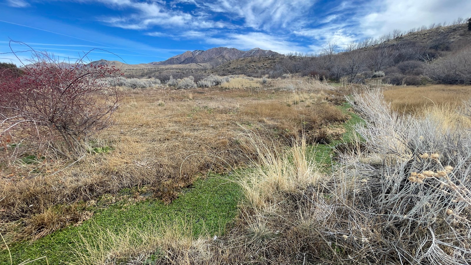
Photo/L. Kreutzer
Quick Facts
Location:
Private property, fenced with locked gate; landowner permission required. The springs are located about 11 miles south of I-80 Exit 77 junction Skull Valley Rd/UT-196 to milepost 27, then, 2.5 miles southeast on unpaved Little Granite Rd. GPS 40.569633 -112.682833 (T-rail marker)
Significance:
This spring was a source of fresh water and a camping area for gold-seekers following the “Forty-niner Trail,” a short braid of the Hastings Cutoff, in 1849-1850.
Designation:
Historic site on the California National Historic Trail.
OPEN TO PUBLIC:
No
MANAGED BY:
Private
Amenities
1 listed
Scenic View/Photo Spot
Near Horseshoe Springs, a deep waterhole and emigrant camping area about 10 miles directly southwest of Timpie Point, Utah, a strand of the trail splits off and climbs a bench to the southeast. This strand, called the Forty-niner Trail, detours 3 ½ miles to a spot known today as “The Spring at Dell Ranch,” or Dell Springs.
This waterhole is in a mountainside valley along the western slopes of the Stansbury Mountains. During the high-traffic years of 1849-1850, some gold-seekers on the Hastings Cutoff bypassed crowded Horseshoe Springs to water and camp in this area, instead. From there, the Forty-niner Trail curved southwesterly to rejoin the primary wagon trail to the Cedar Mountains.
The California-bound party of Madison Berryman Moorman took the trail fork up the mountain on July 27, 1850, and found “a considerable number of emigrants”
encamped at the springs. It was, he wrote, “one of the finest springs that ever ran from the earth, gushing from the mountain side....The place was a lovely one -- grass and water abounding and of the finest quality, as well as plenty of good dry cedar wood.”
John Wood’s company camped at the Spring on Dell Ranch a few days later. His August. 2, 1850, journal entry reads, “Bright and early, this morning, we were on the road and traveled on through dust and heat for eighteen miles, when we reached two good springs, away up on the side of a mountain, two miles from the road, and going these last two miles, up hill, you ought to have seen the bullocks heave when they smelt the water.
At these springs is a great camping place and about fifty wagons are now camped here.” Today the spring is on fenced private property and is not open to visitors.
Site Information
Location (Private property, fenced with locked gate; landowner permission required. The springs are located about 11 miles south of I-80 Exit 77 junction Skull Valley Rd/UT-196 to milepost 27, then, 2.5 miles southeast on unpaved Little Granite Rd. GPS 40.569633 -112.682833 (T-rail marker.)