



Last updated: August 20, 2026
Place
South Fork Humboldt Overlook
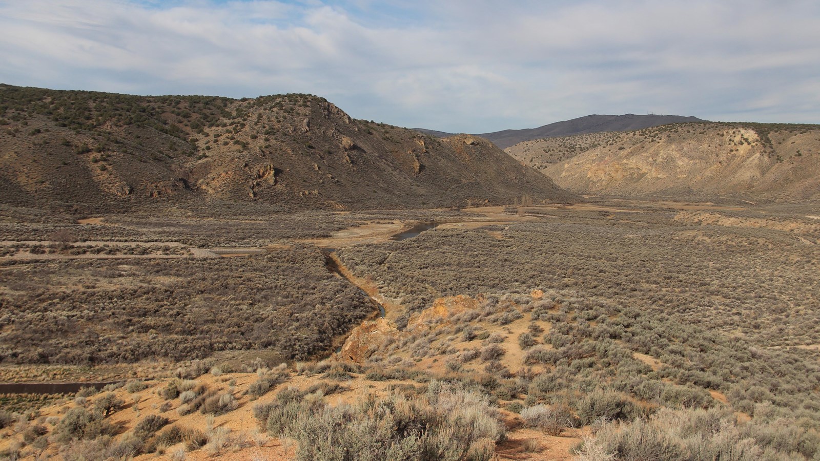
Photo/L. Kreutzer
Quick Facts
Location:
The head of the South Fork Humboldt River Canyon is about 1.8 miles west of the South Fork Humboldt Dam at South Fork State Recreation Area. The mouth of the canyon 3.75 miles southeast of the Bureau of Land Management’s California Trail Center, west of Elko, Nevada. Overlook of head of the Canyon, view from dam at South Fork State Recreation Area GPS: 40.686378 -115.783097 Overlook of mouth of the Canyon, from BLM California Trail Visitor Center overlook trail GPS: 40.763388 -115.932813
Significance:
Members of the 1841 Bidwell-Bartleson Party, traveling without maps or trail, were the first overland emigrants to work their way through the deeply incised South Fork Humboldt River Canyon to reach the Humboldt River and proceed west to California. This part of their route became part of the Hastings Cutoff, followed by travelers between 1846 and 1850.
Designation:
Historic site on the California National Historic Trail.
OPEN TO PUBLIC:
No
Amenities
19 listed
Accessible Sites, Beach/Water Access, Benches/Seating, Boat Ramp, Canoe/Kayak/Small Boat Launch, Grill, Historical/Interpretive Information/Exhibits, Information - Ranger/Staff Member Present, Parking - Auto, Parking - Boat Trailer, Pets Allowed, Picnic Shelter/Pavilion, Picnic Table, Restroom, Scenic View/Photo Spot, Sewage Dump Station - Boat/RV, Trailhead, Water - Drinking/Potable, Wheelchair Accessible
The 1841 Bidwell-Bartleson Party—traveling without maps, a knowledgeable guide, or a trail to follow—was the first emigrant company to make its way down this gorge to the Humboldt River. Having no knowledge of the route to California, the emigrants worried that they would perish, lost, in the inhospitable canyon.
“We followed down the stream,” recalled John Bidwell many years later, “but it soon ceased to have any water. This dry streambed we had to cross many times, but at last the banks became so steep that we were confined to the bed of the stream itself. Our animals became very foot-sore, so much so that they could scarcely stand, yet it was too rocky for them to lie down and the hills were too steep to attempt to get out of the canyon. We all agreed that it would be impossible for the animals to retrace their steps, as they were much worn down and jaded.”
At last the defile opened into the Humboldt River Valley, where “every heart was filled with joy.” From there, they could follow the Humboldt River, then called Mary’s River, to the foot of the Sierra Nevada.
Five years later, the Donner-Reed Party and several other emigrant companies followed Lansford W. Hastings’s “cutoff” through the twisting canyon. Gold-seekers flooded the route again in 1849 and 1850, after which the Hastings Cutoff (including the South Fork Canyon) was largely abandoned.
The head of the canyon, where the Bidwell-Bartleson Party and later companies entered the defile, can be viewed at a distance from above the dam at South Fork Canyon State Recreation Area, about 10 miles south of Elko, Nevada. Primitive roads provide access over public lands overlooking the gorge. High clearance, 4-wheel-drive vehicles are advised for that drive. The mouth of the canyon, where travelers emerged into the Humboldt River Valley, can be viewed at a distance from the Bureau of Land Management’s California Trail Center along I-80.
Location (The head of the South Fork Humboldt River Canyon is about 1.8 miles west of the South Fork Humboldt Dam at South Fork State Recreation Area. The mouth of the canyon 3.75 miles southeast of the Bureau of Land Management’s California Trail Center, west of Elko, Nevada. Overlook of head of the Canyon, view from dam at South Fork State Recreation Area GPS: 40.686378 -115.783097 Overlook of mouth of the Canyon, from BLM California Trail Visitor Center overlook trail GPS: 40.763388 -115.932813)