Last updated: November 19, 2020
Place
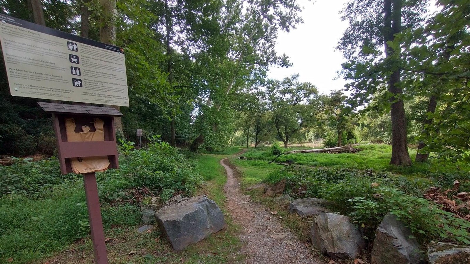
Smith Bridge Parking Lot Trailhead

NPS Photo
Quick Facts
Location:
39.833673, -75.575140
Significance:
The Brandywine Valley unit preserves more than 1,100 acres of winding rivers and rolling hills that once was home to the Lenape Tribes and early Quaker settlers.
Amenities
9 listed
Canoe/Kayak/Small Boat Launch, Grill, Information, Parking - Auto, Permits Issued, Picnic Shelter/Pavilion, Restroom - Seasonal, Scenic View/Photo Spot, Trailhead
This trailhead connects to Creek Trail which will take you all the way to Brandywine Creek State Park. The trail follows the bank of the Brandywine Creek and can flood during the rainy seasons. You can access this trailhead from the Smith Bridge Parking Lot which is located on Brandywine Creek Road. This area fills up very quickly during the warmer months, so we recommend doing a hike early in the morning in order to find parking.
