Last updated: April 28, 2021
Place
Signal Point
NPS
Quick Facts
Location:
Signal Point
Designation:
National Military Park
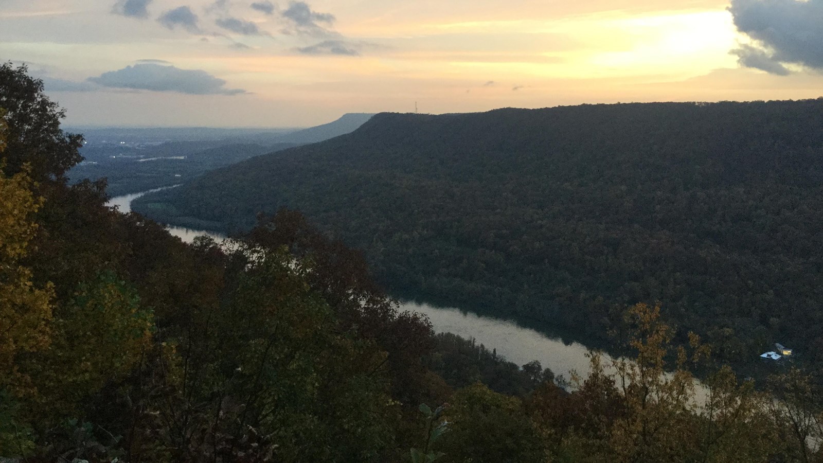
As the Tennessee River cuts its way through the Cumberland Plateau, it divides the plateau into two distinctive mountains. It was practically the only high ground in the area controlled by US forces during the siege of Chattanooga between September and November 1863. US soldiers used Signal Point to communicate with the outside world by creating a complex signaling system on portions of high ground along the Tennessee River. Signal Point was the key station receiving and sending messages from the besieged city to Bridgeport, Alabama, thence by telegraph to the North. Once US forces opened the supply line to the city from Brown's Ferry on October 27, 1863, the signal station at Signal Point was primarily used for observing and reporting Confederate troop movements in the area.
Today, Signal Point is a popular hiking destination. In addition to scenic views of the Tennessee River, Signal Point Reservation is an access point for the Cumberland Trail, which stretches several hundred miles across the Cumberland Plateau.
Today, Signal Point is a popular hiking destination. In addition to scenic views of the Tennessee River, Signal Point Reservation is an access point for the Cumberland Trail, which stretches several hundred miles across the Cumberland Plateau.