Last updated: September 24, 2024
Place
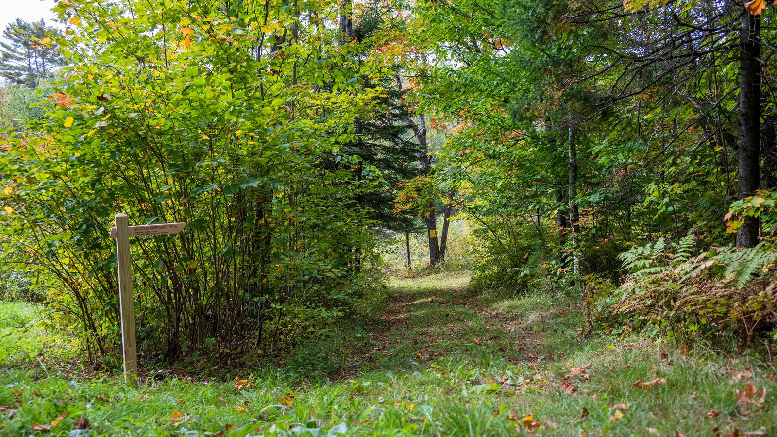
Seboeis Riverside Trail South Trailhead

NPS / R.Wang
Quick Facts
Location:
46.061824, -68.63953
Amenities
2 listed
Scenic View/Photo Spot, Trailhead
The southern access point for the Seboeis Riverside Trail is located in the Seboeis Parcel of Katahdin Woods and Waters National Monument. This trailhead offers a 7.2 mile (one-way) out and back trail along the Seboeis River. The trail extends past the monument boundaries. To get to this location, a high clearance vehicle is recommended. There is an unmarked dirt parking area located just north of the trailhead (46.07529,-68.63553) and a connector trail that hikers can take as a direct trail to the Seboeis Riverside Trail.
Note: Philpott Bridge and areas west of the Seboeis River are not within the boundaries of Katahdin Woods and Waters National Monument.
In the winter, visitors can snowshoe from the north trailhead. This trailhead is not maintained during the winter season.The northern end of the trail is located off Grand Lake Road, 5.7 miles north of Shin Pond.
