Last updated: October 29, 2020
Place
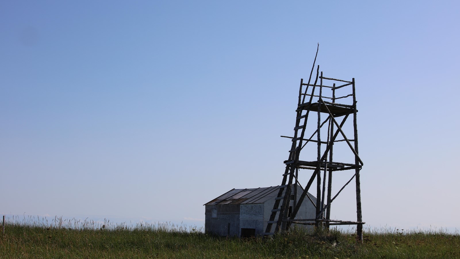
Sealing Point Tower

NPS/Alisa Chen
This spot, named Napaaksaq by the Iñupiaq, was used historically by subsistance hunters. The tower that stands there today is at least the third of its kind in the same spot.
Sealing Point Tower, placed on the highest hill of a relatively flat area, has been used historically by hunters. Seal hunters would use the tower to look for holes in the ice. Reindeer herders and hunters used the vista to spot animals across the lower beach ridges. Today, airplanes can use the tower as a orientating spot during poor visibility.
Also on display from the tower are Cape Krusenstern's extensive beach ridges. Because the ridges accumulated over time, the earliest ridges lie inland, with the most recently formed ridges and bluffs near the shore. This unusual series of beach ridges presents, in sequence, detailed evidence of an estimated 9,000 years of prehistoric human use of this coastline. Some archeological sites here are older than well-known remains of ancient Egyptian civilizations. Numerous research projects have focused on this beach ridge complex.
Along the outer beaches, Alaska Natives still hunt marine mammals and fish. Local rural residents are allowed to hunt in the Monument, continuing thousands of years of subsistence hunting tradition and providing their families with much needed traditional food sources. The Alaska National Interest Lands Conservation Act (ANILCA), which established Cape Krusenstern and other federal lands across Alaska, ensures the protection of these subsistence activities at the federal level.
