Last updated: March 28, 2025
Place
Scenic Drive Stop 2

NPS / E. Van Ness
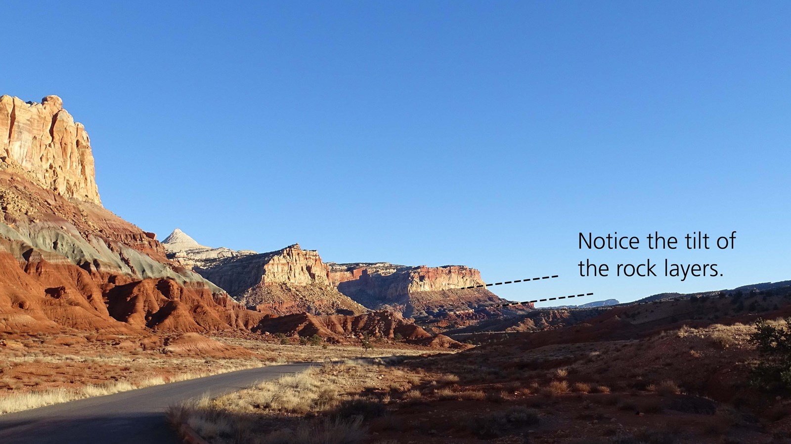
Look south along the Scenic Drive and notice the tilt of the rock layers. Why do they slope down toward the east? Capitol Reef protects a giant wrinkle in the Earth’s crust called the Waterpocket Fold. Deep under these layers of sedimentary rocks, imagine a massive crack in Earth’s crust, a fault line stretching north to south for 100 miles, parallel to the Scenic Drive. From about 75 to 35 million years ago the western side of the fault was pushed up about 7,000 feet higher than the eastern side. Above, the sedimentary rock layers folded, or draped over this gigantic rock stair step. Now worn by weathering and erosion, we see the tilted layers dip down toward the east. This monocline, a step-like fold or tilt, is one of the longest exposed monoclines in North America. The name “Waterpocket Fold” comes from the numerous potholes, tanks, or pockets in the rock that hold rainwater.
Stops 3, 4, and 5 are along the Grand Wash spur road in a steep-walled canyon subject to dangerous flash floods that often arrive with little warning. Avoid this road and all other canyons and washes when storms threaten.
Due to the tilt of the fold, as you drive east into Grand Wash, you’ll begin in the Moenkopi Formation, but it will soon disappear under the ground and you’ll be in the Chinle Formation. At the end of the road the Chinle too has disappeared, and you’ll be in the Wingate Sandstone.
