Last updated: November 27, 2020
Place
Sandy River Delta

Lewis and Clark NHT Visitor Centers and Museums
This map shows a range of features associated with the Lewis and Clark National Historic Trail, which commemorates the 1803-1806 Lewis and Clark Expedition. The trail spans a large portion of the North American continent, from the Ohio River in Pittsburgh, Pennsylvania, to the mouth of the Columbia River in Oregon and Washington. The trail is comprised of the historic route of the Lewis and Clark Expedition, an auto tour route, high potential historic sites (shown in black), visitor centers (shown in orange), and pivotal places (shown in green). These features can be selected on the map to reveal additional information. Also shown is a base map displaying state boundaries, cities, rivers, and highways. The map conveys how a significant area of the North American continent was traversed by the Lewis and Clark Expedition and indicates the many places where visitors can learn about their journey and experience the landscape through which they traveled.
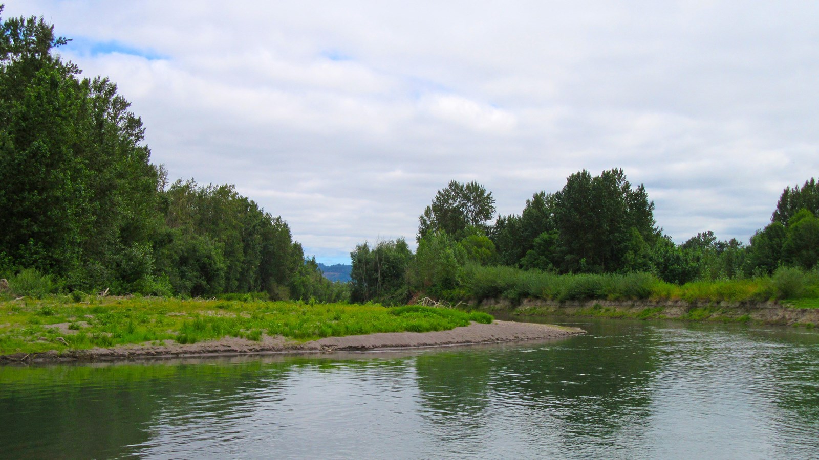
On the morning of March 31, 1806, Lewis and Clark arrived on the north side of the Columbia River opposite the mouth of the Sandy River. They had briefly visited the area on November 3, 1805, and named the tributary “Quick Sand River.” Lewis now noted there was one “large wooden house” of the Watlala Nation nearby, remarking, “when we decended the river in November last there were 24 other lodges formed of Straw and covered with bark near this house; these lodges are now distroyed and the inhabitants as the indians inform us have returned to the great rapids of this river…” They learned a great deal about Sandy River from area villagers and sent Sergeant Pryor to explore as far upriver as possible within a day. With game relatively plentiful, the captains resolved “to remain at our present encampment or some where in this neighbourhood untill we had obtained as much dryed meat as would be necessary for our voyage as far as the [Nez Perce].” During this time they also made detailed celestial and natural observations. By April 6, the food supply was adequately restocked, and they continued upriver.
Much of the Sandy River Delta lies within the eponymous 1,400-acre USFS park, which includes an extensive trail system through forests, fields, and wetlands. Immediately upstream the Sandy River is the Lewis and Clark State Recreation Area, a 54-acre park that offers a wide range of recreation opportunities and limited interpretive signage. North of the Columbia River is the Captain William Clark Regional Park, managed by Clark County Public Works. This 93-acre park was established during the Bicentennial to commemorate the 1806 camp, which is interpreted through signage and outdoor exhibits
