Last updated: May 10, 2023
Place
Sandy River Delta, Oregon
Oregon Chapter, Lewis and Clark Trail Heritage Foundation
Quick Facts
Location:
Sandy River Delta, Thousand Acres Rd, Troutdale, OR 97060
Significance:
Meriwether Lewis, William Clark, and their party camped here for several nights on their journey down and then back up the Columbia River.
Designation:
Lewis and Clark National Historic Trail
MANAGED BY:
Amenities
7 listed
Historical/Interpretive Information/Exhibits, Parking - Auto, Parking - Bus/RV, Pets Allowed, Picnic Table, Toilet - Flush, Trailhead
Floating down the Columbia River in 1805, Meriwether Lewis and William Clark completely missed the Willamette River. They thought that a river next to it, which Clark called the “quicksand river,” (now known as the Sandy River), was the larger stream.
On their trip back up the Columbia in 1806, Chinookan and Kalapuyan people who lived here kept telling the visitors that the Sandy River was not a substantial river. They informed them that there was a larger one, the Multnomah (now called the Willamette). After first arguing, the travelers eventually believed the locals.
The next day, Lewis and Clark’s party saw several Upper Chinook men paddling in a canoe—nothing unusual, since the Columbia River (imaɬ or iyagaytɬ imaɬ, in Chinookan, meaning “great water”) was a busy highway.
They told the party that two of the men in their boat were from near the waterfalls (Multnomah Falls) upstream. One drew a map of “this river which they called Mult-no-mâh” . . . “which they drew on a mat with a coal.” Another agreed to guide Clark and seven other men up the river. He took as payment from Clark a “birning glass,” a lens that focused sunlight and helped spark a flame.
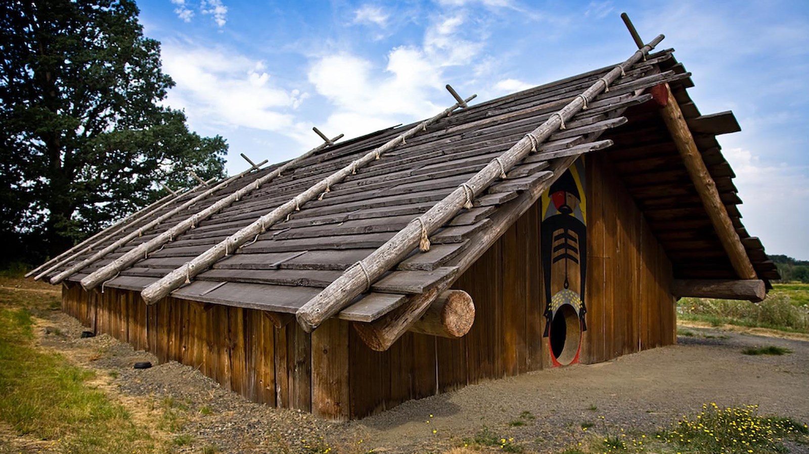
This Chinook man brought the men up the Multnomah River, stopping by his village on the way. Clark described this man’s house and explained that the ruins of many more houses were behind it—the man explained many people of their town had died of smallpox twenty-five or thirty years before.
Clark described the depth and length of the river in terms of whether it could accommodate large ships. He did this because this expedition was not just to casually observe this land, but to prepare the way for American traders and settlers. A river of sufficient depth could accommodate a port for large ships to bring goods from around the world.
Chinook and Kalapuya people already knew how great the Willamette River was—they lived along it in densely populated towns. They could, and did, tell their visitors what they knew about the river.
About this article: This article is part of a series called “Pivotal Places: Stories from the Lewis and Clark National Historic Trail.”
Lewis and Clark NHT Visitor Centers and Museums
This map shows a range of features associated with the Lewis and Clark National Historic Trail, which commemorates the 1803-1806 Lewis and Clark Expedition. The trail spans a large portion of the North American continent, from the Ohio River in Pittsburgh, Pennsylvania, to the mouth of the Columbia River in Oregon and Washington. The trail is comprised of the historic route of the Lewis and Clark Expedition, an auto tour route, high potential historic sites (shown in black), visitor centers (shown in orange), and pivotal places (shown in green). These features can be selected on the map to reveal additional information. Also shown is a base map displaying state boundaries, cities, rivers, and highways. The map conveys how a significant area of the North American continent was traversed by the Lewis and Clark Expedition and indicates the many places where visitors can learn about their journey and experience the landscape through which they traveled.