



Last updated: September 12, 2026
Place
Rocky Ford on the Malad River (Hensley-Salt Lake Cutoff)
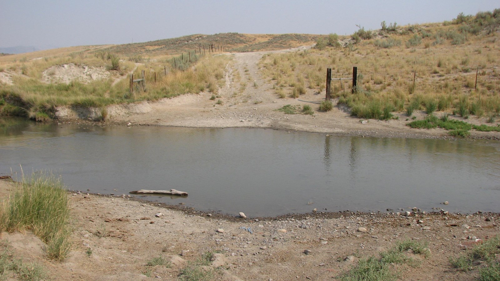
Photo/Jerry Eichhorst
Quick Facts
Location:
Approximately 1.5 miles southwest of Plymouth, Utah, as seen below the southbound lanes of the I-15 bridge over the Malad River. GPS from the bridge: 41.865241 -112.169982
Significance:
Rocky Ford is believed to have been the Malad River crossing used by the 1841 Bidwell-Bartleson Party. It became part of the Salt Lake-Hensley Cutoff in 1848 and was heavily used during the California Gold Rush.
Designation:
Historic site on the California National Historic Trail.
OPEN TO PUBLIC:
No
MANAGED BY:
Private
Many California-bound travelers left the primary route of the California Trail in Wyoming, heading southwest to rest and resupply at Salt Lake City, Utah. From there, they could turn north on the Hensley-Salt Lake Cutoff, opened in 1848, and rejoin the California Trail in southeastern Idaho.
A snarl of trail variants emerged along the cutoff near present-day Tremonton, Utah, as travelers sought the easiest places to cross the Bear River. Those who followed the northern variants also had to ford the Malad River before continuing west. Rocky Ford, used for centuries by Native Americans, was one of the few places wagons could be driven across that steep-banked, muddy-bottomed stream.
Jotham Newton, traveling to California, described the crossing in his journal on July 24, 1853:
Crossed the Molads Creek; - a very bad crossing – the stream is about a rod wide, and a bridge is put over it – toll $1 ½ for wagon – 5 cents a head for stock-, the mud is deep for several rods on each side of the stream.
The small I-15 bridge over the Malad River, located one mile south of Exit 392, overlooks the historic ford. The river is not identified by name on any highway signs. If approaching from the I-15 southbound lanes (from Idaho), look for green milepost marker 391, which stands immediately in front of the bridge. If approaching via the northbound lanes, watch for a blue food and gas sign for Exit 392 right before the bridge.
The crossing is easiest to see by looking west (to the right) from the southbound lanes. For safety, do not stop on the freeway.
Site Information
Location (Approximately 1.5 miles southwest of Plymouth, Utah, as seen below the southbound lanes of the I-15 bridge over the Malad River. GPS from the bridge: 41.865241 -112.169982)