Last updated: November 27, 2020
Place
Rock Fort Campsite
Quick Facts
Location:
West 1st Street, The Dalles OR
Significance:
Corps of Discovery Campsite
Designation:
National Register of Historic Places
Lewis and Clark NHT Visitor Centers and Museums
This map shows a range of features associated with the Lewis and Clark National Historic Trail, which commemorates the 1803-1806 Lewis and Clark Expedition. The trail spans a large portion of the North American continent, from the Ohio River in Pittsburgh, Pennsylvania, to the mouth of the Columbia River in Oregon and Washington. The trail is comprised of the historic route of the Lewis and Clark Expedition, an auto tour route, high potential historic sites (shown in black), visitor centers (shown in orange), and pivotal places (shown in green). These features can be selected on the map to reveal additional information. Also shown is a base map displaying state boundaries, cities, rivers, and highways. The map conveys how a significant area of the North American continent was traversed by the Lewis and Clark Expedition and indicates the many places where visitors can learn about their journey and experience the landscape through which they traveled.
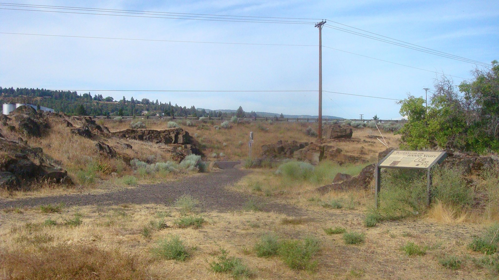
Rock Fort Campsite is a High Potential Historic Site on the Lewis and Clark National Historic Trail.
On October 25, 1805, following the precarious descent of a series of rapids (The Dalles), Clark wrote, “we Came too, under a high point of rocks on the Lard. Side below a creek of 20 yards wide and much water, as it was necessary to make Some Selestial observations we formed our Camp on the top of a high point of rocks, which forms a kind of fortification in the Point between the river & Creek, with a boat guard, this Situation we Concieve well Calculated for defence, and Conveniant to hunt under the foots of the mountain to the West & S. W.” They delayed there three nights, making observations, repairing canoes, hunting, and interacting with various tribes. The expedition returned to the campsite during the return journey on April 15, 1806. Clark wrote, “we arivied at the enterance of Quinnett Creek which we assended a Short distance and Encamped at the place we had Called rock fort Camp.” This time their primary focus was negotiating with tribes for the acquisition of horses and other goods. They broke camp on April 18 to portage the rapids upriver.
Located in The Dalles, the 5.5 acre property commemorating the Rock Fort Campsite was conveyed to Wasco County ownership from the Union Pacific Railroad in 1976. A short footpath accesses the site from an adjacent parking area. A series of wayside panels interpret the site.