Last updated: September 3, 2025
Place
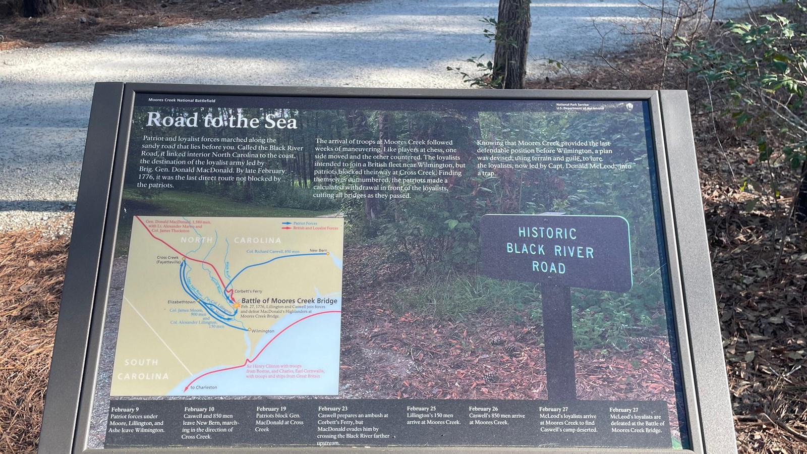
Road to the Sea Wayside

NPS Photo
Quick Facts
Location:
Moores Creek National Battlefield
Amenities
1 listed
Historical/Interpretive Information/Exhibits
This wayside exhibit shows the troop movements by both Loyalist and Patriot soldiers on their march to Moores Creek Bridge. Take a look at the map on the wayside. You can see where the Loyalists had crossed the Black River at Corbett’s Ferry, above the Patriot position, and almost captured the Patriots just north of Moores Creek. Richard Caswell, the Patriot Commander, ordered his men to fall back to Moores Creek Bridge, a crossing the Loyalists would have to make.
