Last updated: September 26, 2023
Place
Rinconada Canyon Stop 2

NPS Photo
Audio Description, Cellular Signal, Scenic View/Photo Spot
Audio Tour Stop #2: The Volcanic Landscape
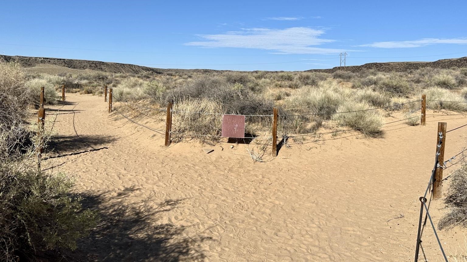
(0.1 miles / .16 km - Trail split for petroglyph viewing and return trail)
Ahead of you the trail splits. Petroglyph viewing is to the right and the return trail on your left. It will still be a little over half of a mile before you start spotting any petroglyphs.
The escarpment itself is the edge of a lava flow that originated from the line of five volcanoes on the western edge of the monument. Between 250,000 and 100,000 years ago these volcanoes had six distinct eruptions and cumulatively the lava flows they produced formed the West Mesa. The lava has long since cooled into a rock called basalt, which forms the cliffside to your right. Looking at some of the larger boulders that are visible along the trail you might notice distinct layers within the rock, showcasing the different layers of the lava flows. You might also notice the holes on the surfaces of the rocks, called vesicles, which were left behind by trapped gases as the lava cooled. The basalt has a dark surface color now, but the original surface was actually a light grey color. As the rock ages, it forms a layer of patina, or desert varnish, which forms due to microorganisms living on the surface in combination with the oxidation of the manganese and iron rich minerals, giving it the boulders the distinctive dark color we see today.
At the next stop, you will learn more about the forces of nature that formed the landscape you are hiking in today.
