Last updated: April 1, 2025
Place
Rim Rock Drive (Colorado National Monument)
C.A Richmond Collection
Quick Facts
Location:
23 mile road from Fruita to Grand Junction through Colorado National Monument
Significance:
Built by the Civilian Conservation Corps
Designation:
National Historic District
Rim Rock Drive (Colorado National Monument)
Map highlighting in red the historic Rim Rock Drive in Colorado National Monument, constructed between 1912 and 1950, winding 23 miles through many switchbacks from the north (west) entrance near the city of Fruita and the south (east) entrance near the city of Grand Junction.
The road climbs from a valley elevation of 4,690 feet to the highest point on the mesa at 6,640 feet. It employs a series of switchbacks on both ends, with two short curved tunnels on the west side and one longer tunnel on the east side. While initially a dirt road, it was paved between 1947 and 1951.
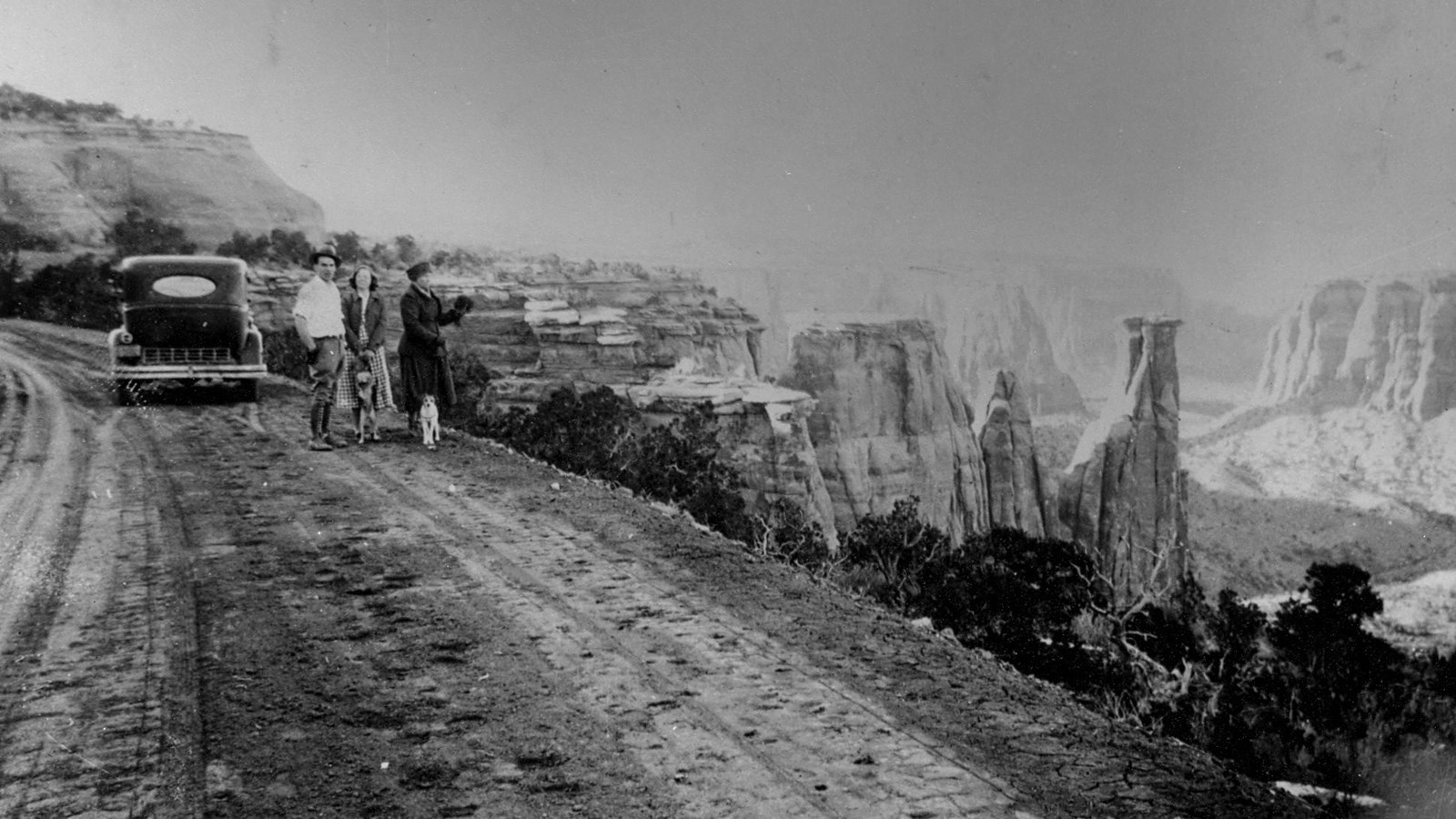
The purpose of Rim Rock Drive was to allow travelers scenic views of the magnificent geologic formations of the monument. In addition to the scenic views, an eagle-eyed visitor will notice rock retaining walls, guard walls, drainage tunnels, and drop inlets. These features contribute to the historic nature of the road.
Turnouts and overlooks were an integral part of this scenic roadway, permitting motorists to rest while viewing the geologic formations and natural vistas along Rim Rock Drive. Many of these turnouts feature informational signs explaining the significance of the area.
The image above is from an area approximately 3 miles from the Visitor Center.