Last updated: October 28, 2021
Place
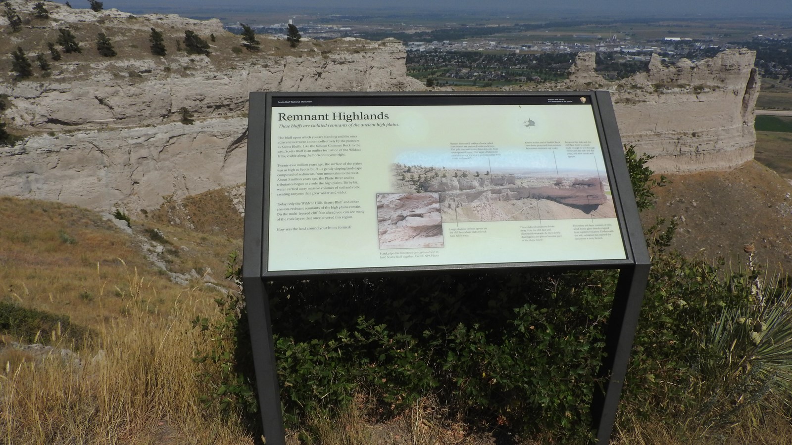
"Remnant Highlands" Wayside

NPS/Walker Donnelly
Quick Facts
Amenities
1 listed
Historical/Interpretive Information/Exhibits
Description of Wayside: Low-profile wayside that is 42 x 24 inches. It has a black rectangular base with two rectangular pillars supporting the wayside panel. The panel is framed in black metal. The wayside is located on the east side of the paved South Overlook Trail facing towards Saddle Rock, a sheer-sided sandstone formation.
Wayside Layout: At the top of the wayside is a thin black banner with white text. Aligned to the left is "Scotts Bluff National Monument" Aligned to the right is the text "National Park Service U.S. Department of the Interior," and finally the National Park Service arrowhead. The title of the wayside is below the black banner in large black font. The panel has a cream-colored background. Black text is in one column on the left side of the wayside. To the right of the text is a large primary image with a smaller inset image in the lower, lefthand corner of the primary image.
Wayside Title: Remnant Highlands
Wayside Text: These bluffs are isolated remnants of the ancient high plains.
The bluff upon which you are standing and the ones adjacent to it were known collectively by the pioneers as Scotts Bluffs. Like the famous Chimney Rock to the east, Scotts Bluff is an outlier formation to the Wildcat Hills, visible along the horizon to your right.
Twenty-two million years ago, the surface of the plains was as high as Scotts Bluff - a gently sloping landscape composed of sediments from mountains to the west. About 3 million years ago, the Platte River and its tributaries began to erode the high plains. Bit by bit, water carried away massive volumes of soil and rock, creating canyons that grew wider and wider.
Today only the Wildcat Hills, Scotts Bluff and other erosion-resistant remnants of the high plains remain. On the multi-layered cliff face ahead you can see many of the rock layers that once covered this region.
How was the land around your home formed?
Primary Image: A section of sandstone bluff known as Saddle Rock is seen with layers of rock.
Image Captions: Slender horizontal bodies of rock called concretions are exposed in the rock here. The pale concretions are lime deposits from underground water. This layer of limestone provides a capstone which protects softer rock layers underneath.
Large, shallow cavities appear on the cliff face where slabs of rock have fallen away.
Knobs at this end of Saddle Rock have been protected from erosion by erosion-resistant cap rocks.
These slabs of sandstone broke away from the cliff face and slumped downward. As they slowly disintegrate, the pieces become part of the slope below.
Between this slab and the cliff face there's a crack wide enough to see through. Eventually the slab will fall away, and new cracks will appear.
This white ash layer consists of tiny, wind-borne glass shards erupted from western volcanos. Underneath the ash, oxidation has stained the sandstone a rusty brown.
Inset Image: Gray limestone concretions protrude from layers of sandstone.
Inset Image Caption: Hard, pipe-like limestone concretions help to hold Scotts Bluff together. Credit: NPS Photo.
