Last updated: October 20, 2022
Place
Rainbow Loop Trail

NPS/Bryanna Plog
Trailhead
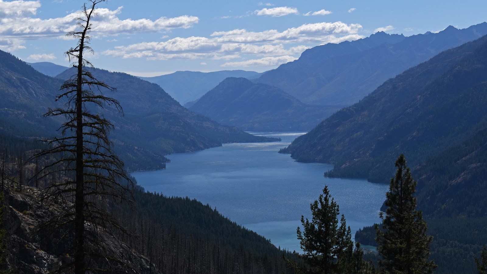
A moderatly steep climb on the Rainbow Loop Trail rewards you with view of Lake Chelan, the Stehekin River, Buckner Orchard, and surrounding peaks. From the south trailhead, there is a scenic overlook 1.3 miles (2.1 km) in. Halfway through the loop, about 2.2 miles in, the trail crosses the beautiful Rainbow Creek on a wooden footbridge. The northern section of the loop is forested, while the southern portion is more exposed.
There are junctures with Boulder Creek Trail and Rainbow Creek Trail which lead to more backcountry destinations. Turn up the Rainbow Creek Trail and hike an additional 1.0 mile and 600 feet (180 m) up for another great overlook of Lake Chelan.
Trail is hot and sunny in summer; bring sufficient water, even if planning to hike just a short distance. Watch for horses in the summer.
Start the Rainbow Loop Trail from either trailhead along the Stehekin Valley Road. The trail is a horseshoe and the full loop includes 2.4 miles between trailheads on the road. Rainbow Loop Trail does not provide access to Rainbow Falls.
- Difficulty: Moderate
- Distance and elevation: The loop between the trailheads is 4.4 miles (7.1 km) with 1,000 feet elevation gain.
- Access: From Stehekin Landing, the south trailhead is 2.6 miles (4.2 km) up the Stehekin Valley Road on the right (east) side of the road. The north trailhead is 5 miles (8.0 km) from the Landing.
- Leashed dogs allowed.
- Backcountry camping is available at Rainbow Bridge and other camps further up Rainbow Creek Trail; backcountry permit required.
