Last updated: June 21, 2024
Place
Puʻu o Lokuana

NPS Photo/A. LaValle
Quick Facts
Amenities
1 listed
Scenic View/Photo Spot
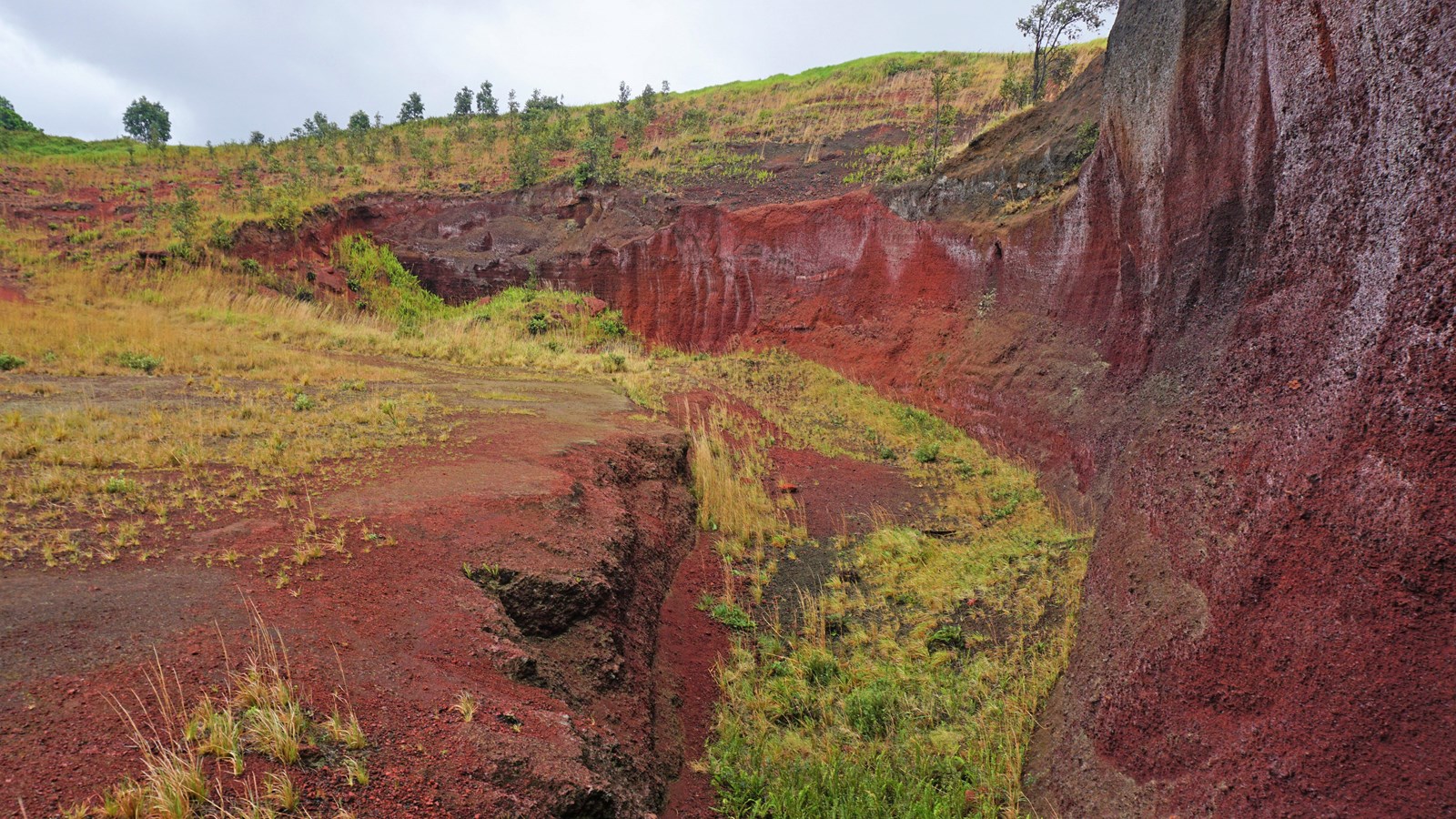
On a day hike to the top of Puʻu o Lokuana, a visitor can take in a panoramic view of the verdant lands around Kahuku as well as the Kaʻū coastline. However, this steep, green hill has a crimson heart. Near the hill's summit is a former cinder quarry. The color of the cinders here are an intense red due to naturally occuring iron oxidation.
During World War II, Puʻu o Lokuana was chosen by the military as the site for a secret radar station. Marines once scanned radar screens in a dark room that was carved into the red cinders. Those cinders now lie under the gardens, homes, and roads throughout the district of Kaʻū. Through mining, nearly 100 feet (30 m) of the hill was taken away.
During World War II, Puʻu o Lokuana was chosen by the military as the site for a secret radar station. Marines once scanned radar screens in a dark room that was carved into the red cinders. Those cinders now lie under the gardens, homes, and roads throughout the district of Kaʻū. Through mining, nearly 100 feet (30 m) of the hill was taken away.
