Last updated: September 3, 2023
Place
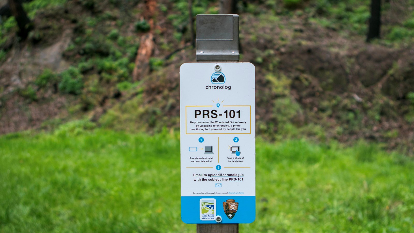
Woodward Fire Photo Monitoring Site 101

NPS Photo/A. Kopshever
Scenic View/Photo Spot
This location is one of five photo monitoring sites located around Point Reyes National Seashore to monitor recovery of the landscape following 2020's Woodward Fire. Visitors are encouraged to take a photo from these points and follow instructions on the sign to upload it, allowing the public and park scientists to observe change over time.
The Woodward Fire burned close to 2,000 acres in its first four days due in part to the lack of available firefighting resources, since so many fires were burning simultaneously across California in the summer of 2020. While the Woodward Fire continued to spread after this initial phase of rapid growth, the remaining 3,000 acres that burned did so more gradually during burn-out operations.
A burn-out operation is a method of managing or containing a wildland fire. Rather than focusing all efforts on putting out a blaze, firefighters strategically plan containment lines in the directions a fire may spread. Firefighters choose lines where they think it will be reasonable to stop the fire, provided there is not a risk to life or property in between. Lines may be well beyond the fire’s present boundary, and can be an existing natural feature like a river or a cliffside, or a man-made feature such as a road or trail–anything where firefighters can stage resources and the flames cannot reasonably jump over.
Once the containment line is in place, firefighters will conduct “back burns”, essentially burning the area between the containment line and the fire’s edge. They will thin out flammable materials and set up hoses to ensure the back-burn remains controlled and does not get too hot.
The Bear Valley Trail and adjacent creek served as a containment line for the Woodward Fire. If you are walking south on the Bear Valley Trail (away from the Visitor Center), almost the entirety of the right-side of the trail makes up the eastern perimeter of the Woodward Fire. The hillside shown in this timelapse was not burned in the initial blaze, but rather was a low-heat back-burn which also resulted in healthy outcomes for many fire-adapted native plant species along this trail.
