Last updated: October 10, 2024
Place
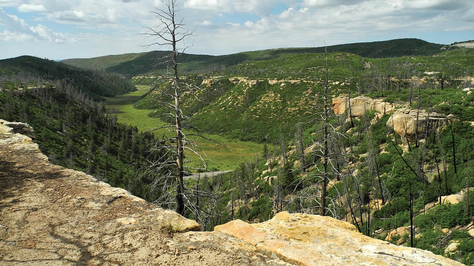
Prater Ridge Trail
NPS/Janet Lamphier
Quick Facts
Location:
Trailhead is located in Morefield Campground
Amenities
2 listed
Parking - Auto, Trailhead
The trail traverses Prater Ridge which divides Prater and Morefield Canyons. The South Loop offers views into Prater Canyon, named for an early pioneer family. The North Loop ascends for views into Montezuma Valley and the beautiful San Juan Mountains.
Trail Description
The trailhead is located on the west side of Morefield Campground. The Prater Ridge Trail contains two hiking loops. You have the option of staying right toward the North Loop or taking the South Loop for a shorter hike. The North Loop is 3.6 miles (5.7 km) and the South Loop is 2.4 miles (3.9 km). If you choose to hike both loops, the entire Prater Ridge Trail is 7.8 miles (12.6 km)
Please respect these places by leaving archeological sites, artifacts, plants, and animals undisturbed for all those who follow you.
Be Prepared
- Strenuous
- Pets and bicycles are not allowed on the trail
- Trails are day-use only
For Your Safety
- Dehydration and altitude sickness are common problems at Mesa Verde. Drink water and rest often.
- Avoid hiking during the hottest part of the day.
- While hiking, remain on the trail to avoid walking along unfenced, unstable cliff edges and fragile soil. Off-trail walking easily destroys the delicate cryptobiotic soil crusts that take decades to form and are essential to soil stability and plant growth in the deserts of the Southwest. Even the smallest impacts have big effects!
- Please respect wildlife by observing them from a distance.
Trail Data
- 7.8 miles (12.6 km) to complete North and South Loops
- 675 ft (206 m) elevation change
- Allow about four hours to complete both loops