Last updated: July 9, 2022
Place
Polls Plateau Trail

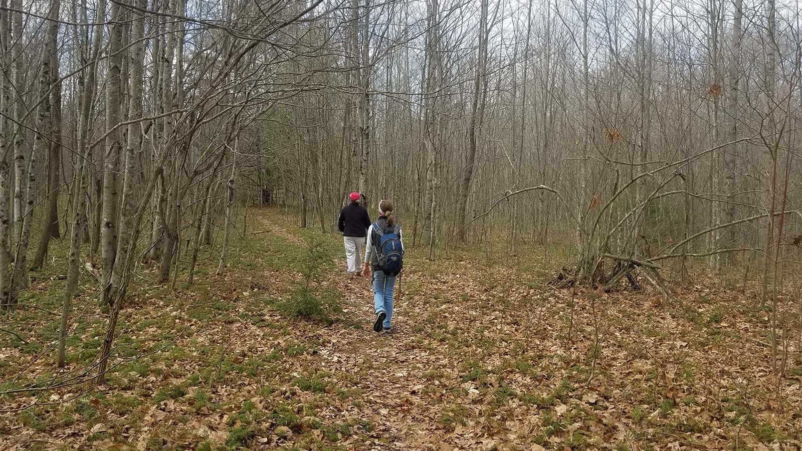
NPS/Dave Bieri
Trailhead
Labeled (4) on the Glade Creek Trails map
Length
4.9 miles/7.89 km (round trip)
Difficulty
Moderate
Trail type
Hiking only
Trail Description
Cross several creeks on this 4.9 mile trail that passes through an upland forest and past an old farmstead. Some of the trail follows an old roadbed; the route may not always be obvious due to drainages and other old roadbeds.
Note
The access from the south and Glade Creek to the junction via the Kates Plateau Trail is currently closed due to a slide.
To reach trailhead
Take I-64 to exit 133 (Bragg). Exit the highway and head north for 0.8 miles, following the main road. Turn left at a church onto Polls Branch Road. Follow that to the parking area at the end of the road.
