Last updated: November 2, 2024
Place
Plott Balsam Overlook
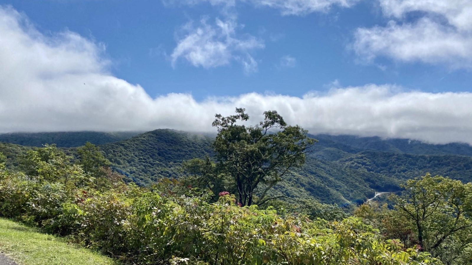
NPS Photo / Tina Haver Currin
Quick Facts
Location:
Milepost 457.9
Significance:
High Elevation Scenic Overlook
Amenities
3 listed
Historical/Interpretive Information/Exhibits, Parking - Auto, Scenic View/Photo Spot
The Blue Ridge Parkway travels the spine of some of the highest mountains in the Plott Balsam Range, which were named for the Plott family. Plott Balsam Overlook has an informational sign that explores some of this family history, including the creation of their famed hunting dogs, the Plott Bear Hounds. In 1989, the North Carolina General Assembly honored the Plott Hound with the designation of official State Dog.
At 5,020 feet, Plott Balsam Overlook offers sweeping views of this protected landscape, which includes a variety of habitats like Appalachian spruce-fir forests, northern hardwood forests, rock outcroppings, and high-elevation bogs.
The extensive Plott Balsam Range stretches southwest from the Tuckasegee River Valley in Sylva, NC to Maggie Valley, NC in the northeast. This range is often overlooked due to being flanked by the taller Great Smoky Mountains to the north and the Great Balsams to the south. But seasoned Parkway visitors know that some of the best views can be seen from the Plott Balsams. Waterrock Knob (6,292 feet) is the highest peak in the Plott Balsam Range, while Waterrock Knob Visitor Center, at 5,820 feet, is the highest-elevation center along the Parkway.
Check the conditions of the area before you visit.