



Last updated: June 16, 2026
Place
Playa Wagon Tracks
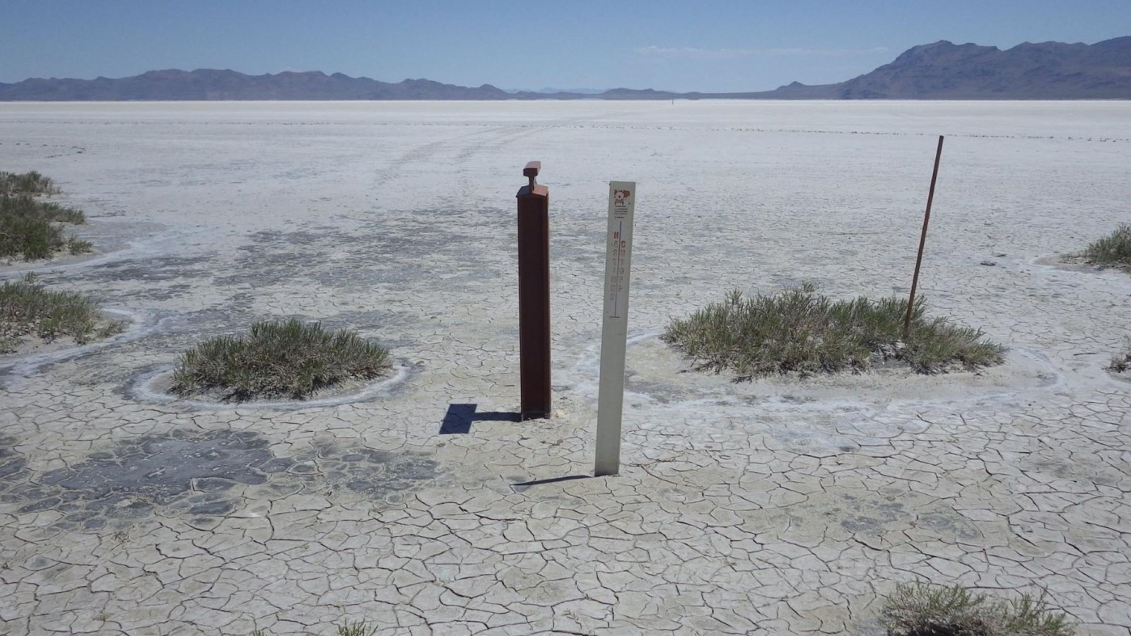
Photo/L. Kreutzer
Quick Facts
Location:
This section of wagon trace lies on mud flats about a mile east of Donner Spring, which is north of Wendover, UT, and stretches some 6 miles toward the Silver Island Mountains. GPS coordinates from near the west end of wheel marks: 41.011703 -113.897387. GPS trail marker: 41.0184333333 -113.9587333333
Significance:
These tracks across the mud flats on the approach to Donner Spring were largely created by wagons heading to California via the Hastings Cutoff in 1849-1850.
Designation:
Historic site on the California National Historic Trail.
OPEN TO PUBLIC:
No
MANAGED BY:
Bureau of Land Management
Amenities
1 listed
Scenic View/Photo Spot
When historian Charles Kelly retraced the Hastings Cutoff across the Great Salt Lake Desert in 1929, he discovered wagon wheel marks as well as “distinct footprints of a man, woman, and a child, together with the tracks of oxen” embedded in the salt plain. The people who had made those prints—possibly members of the Donner-Reed Party—were among thousands of emigrants who crossed the desert between 1846 and 1850.
Their footprints faded with the passage of time, but a six-mile segment of wagon tracks still stretches across the mud flats between the Silver Island Mountains and Donner Spring. They appear as clear white lines on online satellite imagery and are seen on the ground surface as linear, gray wheel marks. “The surface mud of the desert here consists of several layers of fine silt, some light gray, some dark gray, and some nearly white,” explained Kelly in his 1930 report, Salt Desert Trails. “At a depth of about twelve inches lies a layer of white crystals of sodium sulphate, several inches in thickness. Beneath this again is more gray silt, the whole saturated with silt.
The narrow tires of the emigrant wagons cut through these various layers of silt, bringing to the surface sometimes darker and sometimes lighter material.” Many travelers swallowed the last of their water as they approached the Silver Island Range, believing they would shortly reach their lifesaving spring at the foot of the mountains. Upon arriving, though, they learned that Pilot Peak and its great freshwater spring yet lay many miles beyond Silver Island. John Udell, crossing in 1850, described the mud flats west of the mountains as a “vast plain which presented a most singular appearance.” He wrote, “There was no vegetation on it, and the whole expanse was covered to the depth of five or six inches with a white substance resembling gypsum, that reflects the heat of the sun’s rays, making a bright glaring atmosphere, which together with the dust, causes extreme faintness and thirst.”
“Suffered much from water,” Forty-niner Jacob Grewell jotted in his journal, “crossing a desert of 90 miles, from Tuesday till Thursday, nothing to drink except from the blood of a cow that had been dead for some time.” Henry S. Bloom recorded his company’s distressing plight in 1850: “Got to the Rock of Misery [Crater Island at Donner-Reed Pass], 65 miles out, our water all gone and our horses nearly famishing for water. Teams giving out, men lying by the side of the road in the hot sun speechless for the want of water. Some lying in the shade of the rocks nearly dying from thirst. Men offering one, ten, twenty and five hundred dollars for a single drink of water.”
“Water wagons” sent back into the desert from Donner Spring saved many lives that season. Word of the Salt Desert travails spread, and after 1850 there are no documented emigrant crossings of the Great Salt Desert on the Hastings Cutoff. The “cutoff” was no shortcut, and other routes to California were safer.
Site Information
Location (This section of wagon trace lies on mud flats about a mile east of Donner Spring, which is north of Wendover, UT, and stretches some 6 miles toward the Silver Island Mountains. GPS coordinates from near the west end of wheel marks: 41.011703 -113.897387. GPS trail marker: 41.0184333333 -113.9587333333)