Last updated: October 10, 2024
Place
Soda Canyon Overlook Trail

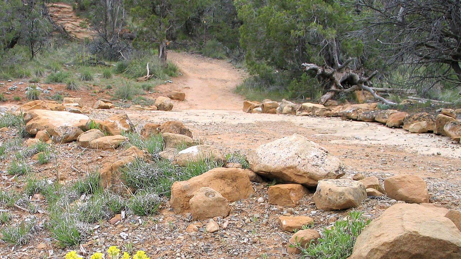
NPS Photo
Parking - Auto, Trailhead
Soda Canyon Overlook Trail and Cliff Palace Loop Road are open 8 am to sunset from late spring to December 1, or until the first significant snowfall.
This easy, out-and-back trail meanders through the mesa top pinyon-juniper forest to three overlooks at the edge of Soda Canyon. Hikers are rewarded with views of Balcony House and several other cliff dwellings across the canyon. The canyon was named for the white, calcium carbonate deposits visible below the rim. These are the evaporative remains of seeps springs once used by the Ancestral Pueblo people.
Please respect these places by leaving archeological sites, artifacts, plants, and animals undisturbed for all those who follow you.
Trail Description
The 1.2-mile (2 km) roundtrip trail is unpaved. Look for centuries-old mature pinyon pine and Utah juniper trees, and forest dwellers like mule deer, desert cottontail, black-tailed jackrabbit, and wild turkey. At the overlook, watch for birds like the turkey vulture, white-throated swift, American kestrel, violet-green swallow, and common raven.This is the only view of Balcony House without taking a ranger-guided tour.
Be Prepared
- Easy to Moderate
- Although considered an easy trail, parts of the trail are exposed and will be hot in the summer.
For Your Safety
- Dehydration and altitude sickness are common problems at Mesa Verde. Drink water and rest often.
- Avoid hiking during the hottest part of the day.
- While hiking, remain on the trail and avoid walking along unstable cliff edges. Off-trail walking easily destroys the delicate cryptobiotic soil crusts that take decades to form and are essential to soil stability and plant growth in the deserts of the Southwest. Even the smallest impacts have big effects!
- Pets and bicycles are not allowed on the trail.
- Please respect wildlife by observing them from a distance.
- Trails are day-use only.
Trail Data
- 1.2 miles (2 km) roundtrip
- 67 ft (20 m) elevation change
- Allow about 40 minutes to complete
