Last updated: December 4, 2020
Place
Pierre Dorion Memorial
Google Maps
Quick Facts
MANAGED BY:
Lewis and Clark NHT Visitor Centers and Museums
This map shows a range of features associated with the Lewis and Clark National Historic Trail, which commemorates the 1803-1806 Lewis and Clark Expedition. The trail spans a large portion of the North American continent, from the Ohio River in Pittsburgh, Pennsylvania, to the mouth of the Columbia River in Oregon and Washington. The trail is comprised of the historic route of the Lewis and Clark Expedition, an auto tour route, high potential historic sites (shown in black), visitor centers (shown in orange), and pivotal places (shown in green). These features can be selected on the map to reveal additional information. Also shown is a base map displaying state boundaries, cities, rivers, and highways. The map conveys how a significant area of the North American continent was traversed by the Lewis and Clark Expedition and indicates the many places where visitors can learn about their journey and experience the landscape through which they traveled.
When the Expedition reached the mouth of the James River (just east of the city of Yankton today), Dorion was dispatched to gather members of the Yankton Sioux for a meeting at Calumet Bluffs. There he translated Lewis’s long speech and helped the Captains document details about the Native peoples’ culture.
A few days later, Lewis and Clark convinced several chiefs of area tribes to go with Dorion to St. Louis and on to Washington City to meet President Jefferson. When Dorion traveled south (downstream) with the chiefs, the Corps returned to their upstream journey.
Dorion continued trading in the region and in 1806 was commissioned by the U.S. War Department to be a sub-agent along the Missouri and the western tributaries. He assisted William Clark in 1807 by coordinating a meeting with several chiefs.
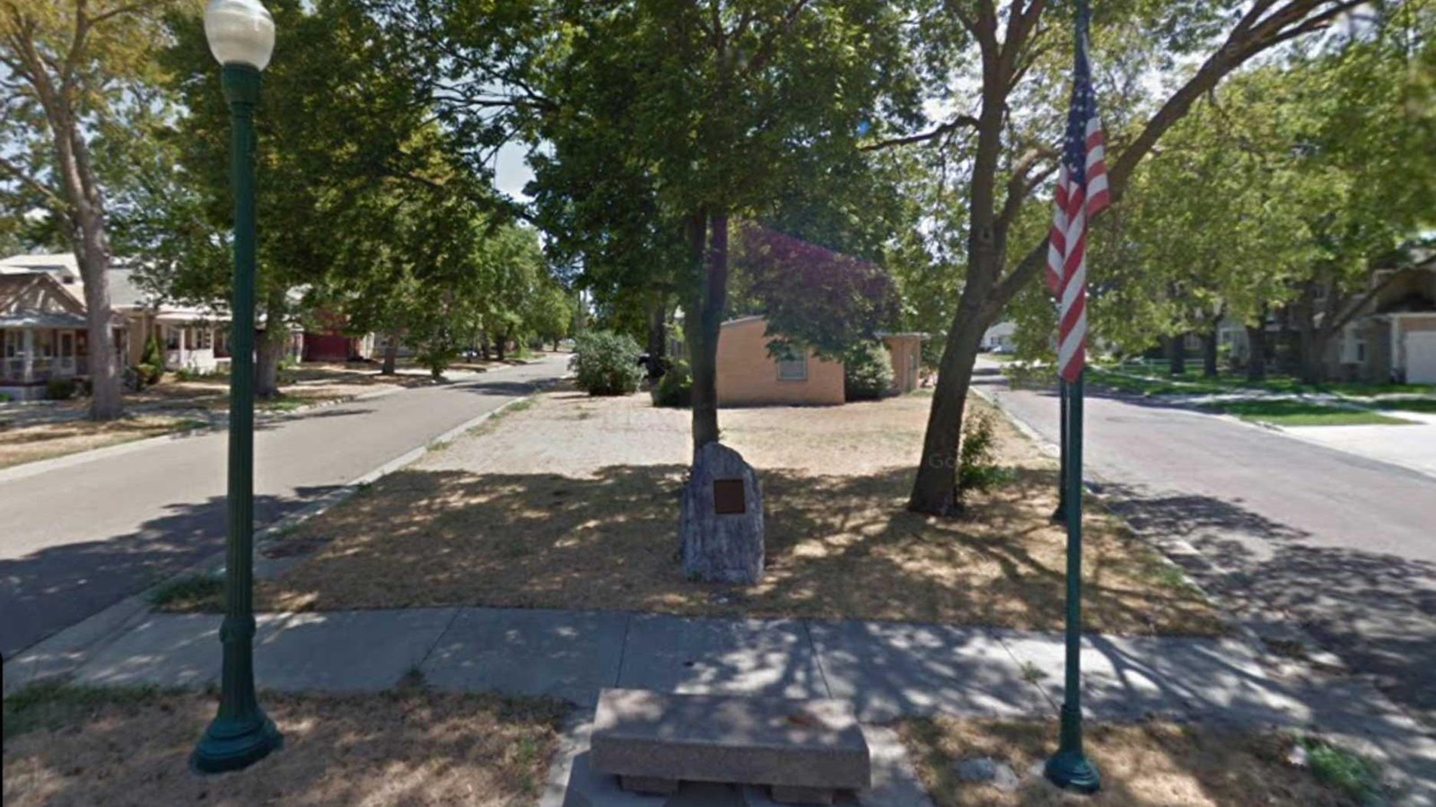
Dorion died in 1810 and was buried along the Missouri River, where his body remained until about 1890 when Yankton brick makers digging for clay uncovered it. The location was lost through time, but was rediscovered by local historians around 1999. Since then, Yankton officials erected a monument in 2002 at the intersection of West 2nd and West Riverside Drive in Yankton, at the grave’s location.