Last updated: August 25, 2025
Place
Pictured Rocks National Lakeshore
NPS
Quick Facts
Location:
Upper Peninsula of Michigan
Designation:
National Lakeshore
Amenities
19 listed
Accessible Sites, Animal-Safe Food Storage, Backcountry Permits, Beach/Water Access, Benches/Seating, Boat Ramp, Canoe/Kayak/Small Boat Launch, Entrance Passes for Sale, Gifts/Souvenirs/Books, Historical/Interpretive Information/Exhibits, Information, Junior Ranger Activity, Permits Issued, Pets Allowed, Primitive Campsites, Restroom, Scenic View/Photo Spot, Tent Campsites, Trailhead
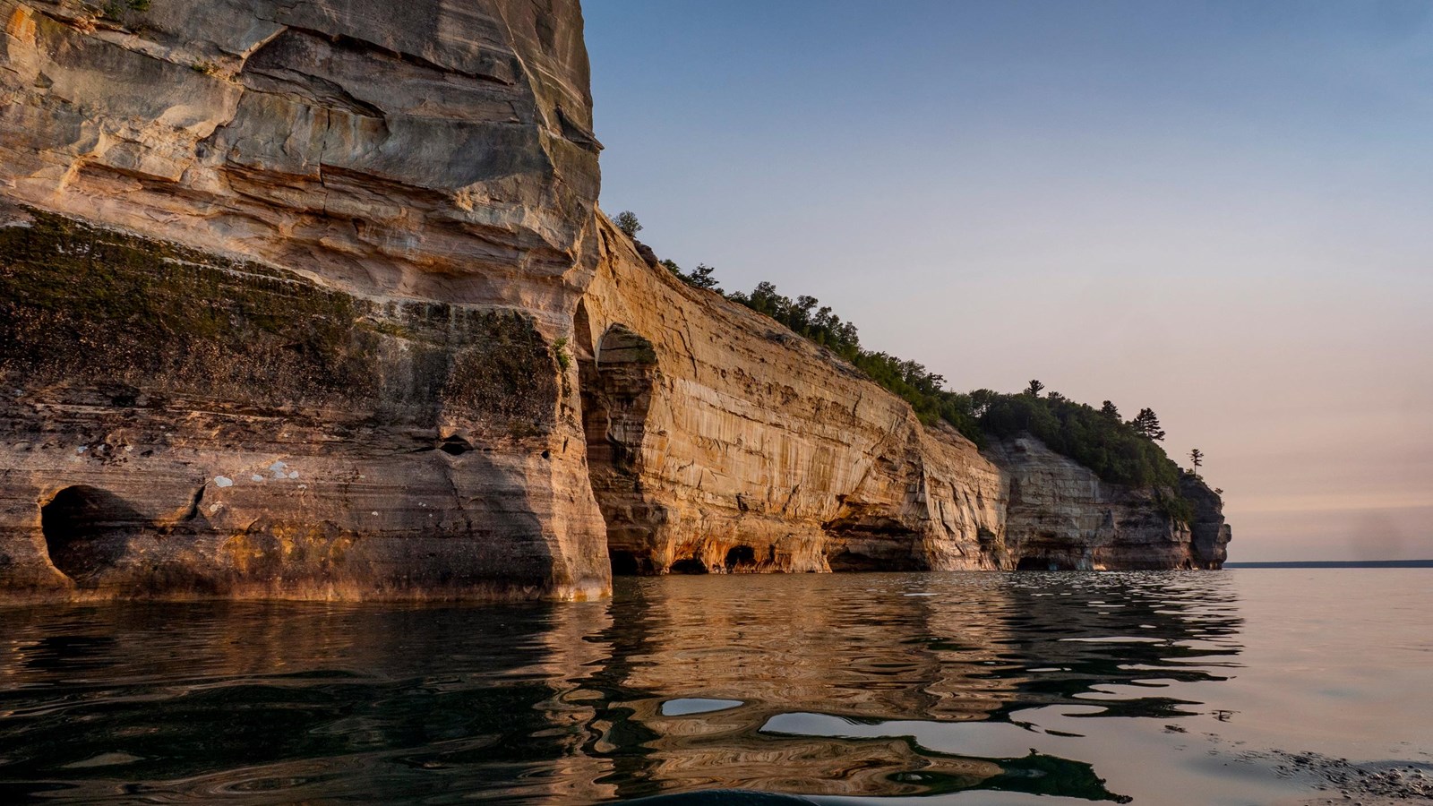
Pictured Rocks is a National Lakeshore on Lake Superior in Michigan's Upper Peninsula. Pictured Rocks is known for its towering multicolored sandstone cliffs, miles of sparkling beaches, dashing waterfalls, huge sand dunes, inland lakes and streams, and deep green forests.
Pictured Rocks includes 15 miles of cliffs along its 42-mile length. Within the park, nearly 100 miles of trail lead to remote trout streams, hidden bogs, wild Lake Superior beaches, and a system of 22 backcountry campgrounds. The park is open year-round and is a four-season recreation destination with hiking, canoeing, kayaking, sightseeing, birding, backcountry and drive-in camping, fall color viewing, winter ice climbing, ice fishing, cross-country skiing, and snowshoeing.
This long narrow park also contains a great deal of human history. Historic resources include an 1874 lighthouse, maritime U.S. Coast Guard buildings and artifacts, and early logging exhibits.