Last updated: July 19, 2025
Place
Pawnee Fork Oxbow
NPS Photo
Quick Facts
Location:
Larned, KS
Amenities
1 listed
Cellular Signal
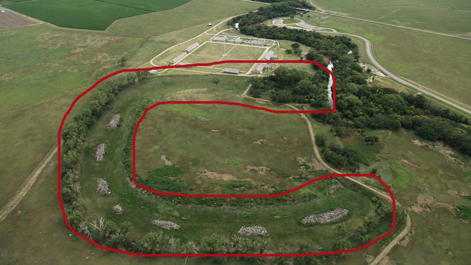
Stop 3 - The Oxbow
The depression surrounding this area was once part of the Pawnee River. Before Fort Larned was built, the river naturally changed course. The dry oxbow was used for wood piles and hay stacks.